|
search place name
|
||
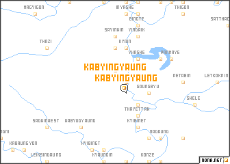
Kabyingyaung (Sagaing, Myanmar)Kabyingyaung is a town in the Sagaing region of Myanmar. An overview map of the region around Kabyingyaung is displayed below.
regional and 3d topo map of Kabyingyaung, Myanmar ::
Kabyingyaung airports ::
The nearest airport is IMF - Imphal, located 200.7 km north west of Kabyingyaung.
Other airports nearby include MDL - Mandalay Intl (211.6 km south), Nearby towns ::
Seikpu (1.9km north) //
Shangon (1.9km north) //
Wayonbin (1.7km east) //
Kabyingyaung (2.5km south east) //
Tebinzeik (5.0km north east) //
Ywashe (5.0km north east) //
Taingbyaukkon (5.0km south east) //
Naung-u (5.6km north) //
Gaungbyu (5.4km east) //
Kya-in (5.8km north) //
Taungyazeik (6.5km south east) //
Thayettaw (6.5km south east) //
Sayinwin (7.4km north) //
Yindaik (8.2km north east) //
Thayettaw (7.7km north east) //
Kyibin-et (8.2km south east) //
Wabyugyaung (9.0km south west) //
Tabudaw (9.0km south west) //
[all distances 'as the bird flies' and approximate] 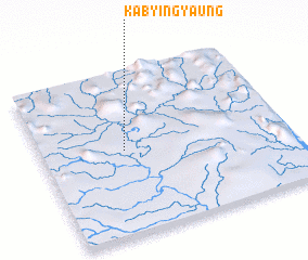 Places with similar names to Kabyingyaung, Myanmar ::
// Kabyingyaung (MM)
Disclaimer :: Information on this page comes without warranty of any kind |
||
|
Where is Kabyingyaung? Elevation and coordinates ::
Latitude (lat): 23°31'0"N Longitude (lon): 95°20'0"E
Elevation (approx.): 163m (map arrows pan, magnifying glasses zoom) |
||
|
Visiting Kabyingyaung? Hotel/Accommodation ::
Book a hotel in Kabyingyaung Travel Guide ::
Buy a travel guide for Myanmar rental cars ::
car rental offers GPS waypoint ::
download a GPX waypoint (PoI) of Kabyingyaung for your GPS receiver
|
||