|
search place name
|
||
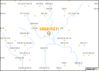
Kadaingti (Kayin, Myanmar)Kadaingti is a town in the Kayin region of Myanmar. An overview map of the region around Kadaingti is displayed below.
regional and 3d topo map of Kadaingti, Myanmar ::
Kadaingti airports ::
The nearest airport is RGN - Yangon Intl, located 168.3 km south west of Kadaingti.
Other airports nearby include LPT - Lampang (221.0 km east), Nearby towns ::
Bawkyawle (1.8km west) //
Mehehta (1.9km north) //
Lepokaw (4.0km north east) //
Lēnaw (5.6km west) //
Shweye (5.8km south) //
Shwepalakya (5.6km east) //
Bomahe (6.5km north west) //
Tarihta (6.5km south east) //
Palon (7.6km north) //
Pawtakwi (7.3km east) //
Nyapawkhi (9.1km north west) //
Menyaw (9.1km north east) //
[all distances 'as the bird flies' and approximate] 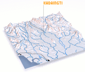 Places with similar names to Kadaingti, Myanmar ::
// Kedengde (RU)
// Kadenkada (BF)
// Gatongati (BI)
// Gatongati (BI)
// Gatongati (BI)
// Gatongati (BI)
// Gatongati (BI)
// Kodunigud (IN)
// Kedunggede (ID)
// Kattankudi (LK)
Disclaimer :: Information on this page comes without warranty of any kind |
||
|
Where is Kadaingti? Elevation and coordinates ::
Latitude (lat): 17°37'0"N Longitude (lon): 97°32'0"E
Elevation (approx.): 38m (map arrows pan, magnifying glasses zoom) |
||
|
Visiting Kadaingti? Hotel/Accommodation ::
Book a hotel in Kadaingti Travel Guide ::
Buy a travel guide for Myanmar rental cars ::
car rental offers GPS waypoint ::
download a GPX waypoint (PoI) of Kadaingti for your GPS receiver
|
||