|
search place name
|
||
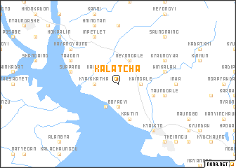
Kalatcha (Myanmar)Kalatcha is a town in Myanmar. An overview map of the region around Kalatcha is displayed below.
regional and 3d topo map of Kalatcha, Myanmar ::
Kalatcha airports ::
The nearest airport is RGN - Yangon Intl, located 102.2 km south west of Kalatcha.
Nearby towns ::
Seinkalet (1.9km north) //
Kwingale (3.5km east) //
Boyagyi (3.7km south) //
Kyaikkatha (3.5km west) //
Meyongale (4.1km north east) //
Kalun (4.0km north west) //
Mokkamu (4.1km south west) //
Kawtin (5.8km south) //
Winpyan (5.6km east) //
Winkalaw (7.3km east) //
Taunggale (7.3km east) //
Suppanu (7.3km west) //
Kyaungywa (8.0km north east) //
Saungnainggwa (8.0km north east) //
Inpetlet (8.2km north west) //
Tawgon (8.0km north west) //
Kyaikto (9.1km south east) //
Mayangyaung (9.0km north west) //
Saungnaing (10.2km north east) //
[all distances 'as the bird flies' and approximate] 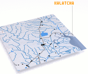 Places with similar names to Kalatcha, Myanmar ::
Disclaimer :: Information on this page comes without warranty of any kind |
||
|
Where is Kalatcha? Elevation and coordinates ::
Latitude (lat): 17°22'0"N Longitude (lon): 96°58'0"E
Elevation (approx.): 18m (map arrows pan, magnifying glasses zoom) |
||
|
Visiting Kalatcha? Hotel/Accommodation ::
Book a hotel in Kalatcha Travel Guide ::
Buy a travel guide for Myanmar rental cars ::
car rental offers GPS waypoint ::
download a GPX waypoint (PoI) of Kalatcha for your GPS receiver
|
||