|
search place name
|
||
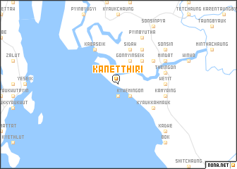
Kanetthiri (Myanmar)Kanetthiri is a town in Myanmar. An overview map of the region around Kanetthiri is displayed below.
regional and 3d topo map of Kanetthiri, Myanmar ::
Kanetthiri airports ::
The nearest airport is MGZ - Myeik, located 137.9 km south of Kanetthiri.
Other airports nearby include HHQ - Prachuap Khiri Khan Hua Hin (209.8 km south east), Nearby towns ::
Thitchaungdwin (1.9km south) //
Kywemingon (2.6km south east) //
Gonnyinseik (4.1km north east) //
Yechochaung (5.2km north east) //
Sidaw (5.8km north) //
Sidat (6.6km north east) //
Chaungwabyin (6.6km north east) //
Kyaukkahmauk (6.6km south east) //
Kabaseik (6.6km north west) //
Weyit (7.2km east) //
Theingon (7.4km east) //
Yange (7.4km east) //
Kamyaing (7.4km east) //
Mindat (8.1km north east) //
Pyinbyutha (8.2km north east) //
Sonsin (9.1km north east) //
Kadwe (10.3km south east) //
[all distances 'as the bird flies' and approximate] 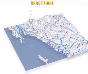 Places with similar names to Kanetthiri, Myanmar ::
Disclaimer :: Information on this page comes without warranty of any kind |
||
|
Where is Kanetthiri? Elevation and coordinates ::
Latitude (lat): 13°39'0"N Longitude (lon): 98°19'0"E
Elevation (approx.): 3m (map arrows pan, magnifying glasses zoom) |
||
|
Visiting Kanetthiri? Hotel/Accommodation ::
Book a hotel in Kanetthiri Travel Guide ::
Buy a travel guide for Myanmar rental cars ::
car rental offers GPS waypoint ::
download a GPX waypoint (PoI) of Kanetthiri for your GPS receiver
|
||