|
search place name
|
||
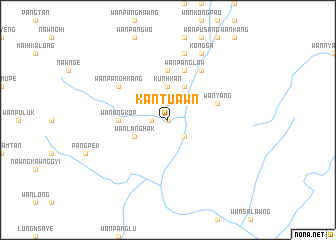
Kantu-awn (Shan, Myanmar)Kantu-awn is a town in the Shan region of Myanmar. An overview map of the region around Kantu-awn is displayed below.
regional and 3d topo map of Kantu-awn, Myanmar ::
Kantu-awn airports ::
The nearest airport is HEH - Heho, located 114.9 km north west of Kantu-awn.
Other airports nearby include MOG - Mong Hsat (171.9 km east), KET - Kengtung (243.5 km north east), MDL - Mandalay Intl (248.3 km north west), LPT - Lampang (281.2 km south east), Nearby towns ::
Wān Mākkēnglong (0.0km north) //
Wān Konnā (1.9km north) //
Wān Linmon (1.7km west) //
Wān Loi-lim (2.5km south east) //
Kunhkan (3.7km north) //
Wān Yang (4.1km north east) //
Wān Langhak (3.9km south west) //
Wān Ungkop (5.2km west) //
Wān Hpā-hin (5.6km north) //
Wān Pānglaw (5.8km north) //
Wān Yang (5.5km east) //
Wān Pānghkang (6.4km north west) //
Namlawt (6.6km north east) //
Wān Ho-nawng (7.6km north) //
Wān Kong (8.2km north east) //
Kongsa (8.2km north east) //
[all distances 'as the bird flies' and approximate] 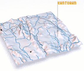 Places with similar names to Kantu-awn, Myanmar ::
Disclaimer :: Information on this page comes without warranty of any kind |
||
|
Where is Kantu-awn? Elevation and coordinates ::
Latitude (lat): 20°7'0"N Longitude (lon): 97°40'0"E
Elevation (approx.): 600m (map arrows pan, magnifying glasses zoom) |
||
|
Visiting Kantu-awn? Hotel/Accommodation ::
Book a hotel in Kantu-awn Travel Guide ::
Buy a travel guide for Myanmar rental cars ::
car rental offers GPS waypoint ::
download a GPX waypoint (PoI) of Kantu-awn for your GPS receiver
|
||