|
search place name
|
||
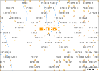
Kawtharwe (Shan, Myanmar)Kawtharwe is a town in the Shan region of Myanmar. An overview map of the region around Kawtharwe is displayed below.
regional and 3d topo map of Kawtharwe, Myanmar ::
Kawtharwe airports ::
The nearest airport is HEH - Heho, located 66.4 km north of Kawtharwe.
Other airports nearby include MDL - Mandalay Intl (189.0 km north west), Nearby towns ::
Kaungtein (1.7km west) //
Yumbya (1.9km south) //
Minbu (1.9km south) //
Pinle (1.7km east) //
Kadutkon (2.5km north east) //
Yegauk (3.7km south) //
Danrwe (3.7km south) //
Wapyon (3.7km north) //
Htiku (3.5km east) //
Myenigonywathit (4.1km north west) //
Myenigon (4.1km north west) //
Klanton (3.9km south west) //
Payabyu (4.1km north east) //
Ti-ne Anauk (4.1km north east) //
Nampa (3.9km south east) //
Saungsi (3.9km north east) //
Pachinchi (3.9km north east) //
U-saung (5.1km south east) //
Londo (5.2km west) //
Kunlon (5.8km south) //
Pinlaung (5.5km east) //
Htihto (5.5km west) //
Thitpingyi (5.8km north) //
Hkawbu (6.6km north west) //
Htiyun (6.4km north west) //
Kontha (6.4km north west) //
Pyintha (6.4km north east) //
Ti-ne Ashe (6.6km north east) //
Ti-ne (6.6km north east) //
[all distances 'as the bird flies' and approximate] 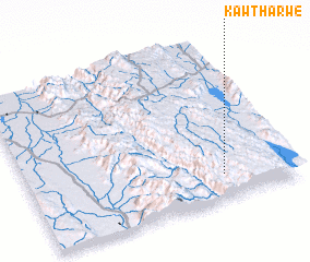 Places with similar names to Kawtharwe, Myanmar :: Disclaimer :: Information on this page comes without warranty of any kind |
||
|
Where is Kawtharwe? Elevation and coordinates ::
Latitude (lat): 20°9'0"N Longitude (lon): 96°44'0"E
Elevation (approx.): 1442m (map arrows pan, magnifying glasses zoom) |
||
|
Visiting Kawtharwe? Hotel/Accommodation ::
Book a hotel in Kawtharwe Travel Guide ::
Buy a travel guide for Myanmar rental cars ::
car rental offers GPS waypoint ::
download a GPX waypoint (PoI) of Kawtharwe for your GPS receiver
|
||