|
search place name
|
||
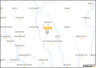
Keke (Rakhine, Myanmar)Keke is a town in the Rakhine region of Myanmar. An overview map of the region around Keke is displayed below.
regional and 3d topo map of Keke, Myanmar ::
Keke airports ::
The nearest airport is CXB - Cox's Bazar Coxs Bazar, located 82.1 km north west of Keke.
Other airports nearby include AKY - Sittwe (103.2 km south), CGP - Chittagong Shah Amanat Intl (158.3 km north west), KYP - Kyaukpyu (202.1 km south east), Nearby towns ::
Adengri (3.7km north) //
Akywesi Htonbweywa (4.1km south east) //
Anga (3.9km south east) //
Renanjee (4.1km south west) //
Changkowai (4.1km north west) //
Pinigyaung (5.5km west) //
Kudair (7.2km east) //
Nangking (7.2km east) //
[all distances 'as the bird flies' and approximate] 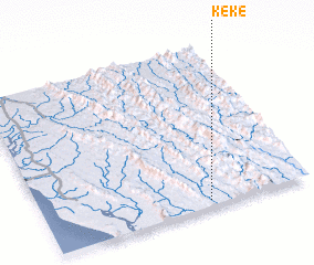 Places with similar names to Keke, Myanmar ::
Disclaimer :: Information on this page comes without warranty of any kind |
||
|
Where is Keke? Elevation and coordinates ::
Latitude (lat): 21°2'0"N Longitude (lon): 92°37'0"E
Elevation (approx.): 81m (map arrows pan, magnifying glasses zoom) |
||
|
Visiting Keke? Hotel/Accommodation ::
Book a hotel in Keke Travel Guide ::
Buy a travel guide for Myanmar rental cars ::
car rental offers GPS waypoint ::
download a GPX waypoint (PoI) of Keke for your GPS receiver
|
||