|
search place name
|
||
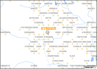
Kyagwin (Myanmar)Kyagwin is a town in Myanmar. An overview map of the region around Kyagwin is displayed below.
regional and 3d topo map of Kyagwin, Myanmar ::
Kyagwin airports ::
The nearest airport is RGN - Yangon Intl, located 181.3 km south of Kyagwin.
Nearby towns ::
Sibsāgar (1.9km north) //
Kyaukkhegwin (1.9km north) //
Kyaungzu (1.9km south) //
Natyegan (1.9km south) //
Baskitpatan (1.8km west) //
Yeshangyi (1.8km west) //
Balātitola (2.6km south east) //
Sadhugaon (2.6km south west) //
Tagundaing (2.6km south east) //
Ingon (3.5km east) //
Zigon Ashe (3.5km east) //
Nyaunggaing (3.7km north) //
Yeshan Ywathit (3.5km west) //
Ywadanshe (3.7km south) //
Thabyenyun (3.7km south) //
Zeyawadi (4.1km north west) //
Shwedaikkin (4.1km north east) //
Sahadeonagar (4.1km north east) //
Jaipur (4.1km north west) //
Kyungon (4.0km south west) //
Pyu (4.1km south west) //
Lebyingyi (5.1km north east) //
Kyaungzu (5.1km north west) //
Hmankwin (5.1km north west) //
Wedaung (5.1km south west) //
Kinmungyon (5.6km south) //
Taingtaya (5.3km west) //
Zingontaung (5.3km east) //
Patta (5.6km north) //
[all distances 'as the bird flies' and approximate] 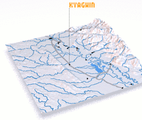 Places with similar names to Kyagwin, Myanmar ::
Disclaimer :: Information on this page comes without warranty of any kind |
||
|
Where is Kyagwin? Elevation and coordinates ::
Latitude (lat): 18°31'0"N Longitude (lon): 96°27'0"E
Elevation (approx.): 45m (map arrows pan, magnifying glasses zoom) |
||
|
Visiting Kyagwin? Hotel/Accommodation ::
Book a hotel in Kyagwin Travel Guide ::
Buy a travel guide for Myanmar rental cars ::
car rental offers GPS waypoint ::
download a GPX waypoint (PoI) of Kyagwin for your GPS receiver
|
||