|
search place name
|
||
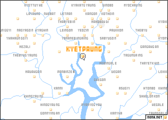
Kyetpaung (Ayeyarwady, Myanmar)Kyetpaung is a town in the Ayeyarwady region of Myanmar. An overview map of the region around Kyetpaung is displayed below.
regional and 3d topo map of Kyetpaung, Myanmar ::
Kyetpaung airports ::
The nearest airport is RGN - Yangon Intl, located 154.5 km east of Kyetpaung.
Other airports nearby include SNW - Thandwe (199.4 km north), Nearby towns ::
Yamanebingaing (4.1km north west) //
Payachaung (4.1km north east) //
Thinbawgyin (4.1km north east) //
Panbinzeik (5.1km south west) //
Yeozin (5.6km north) //
Pebin-gale (5.6km east) //
Wegyigwin (5.6km west) //
Chaungzauk (5.6km east) //
Talokkôn (5.8km north) //
Gwegôn (6.6km south east) //
Sabyugôn (6.5km north east) //
Leingôn (6.6km north west) //
Yethogôn (7.4km north) //
Setkôn (7.4km north) //
Padaukchaung (7.6km north) //
Mahabawdi (8.2km north east) //
Degan (8.0km south east) //
Thabyebin (8.2km north west) //
Tamangyaung (8.2km south west) //
Kanni (9.1km south west) //
Paukkôn (9.0km north east) //
Payāgyikôn (10.3km north east) //
Yedwingôn (10.3km south east) //
[all distances 'as the bird flies' and approximate] 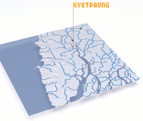 Places with similar names to Kyetpaung, Myanmar :: Disclaimer :: Information on this page comes without warranty of any kind |
||
|
Where is Kyetpaung? Elevation and coordinates ::
Latitude (lat): 16°42'0"N Longitude (lon): 94°42'0"E
Elevation (approx.): 4m (map arrows pan, magnifying glasses zoom) |
||
|
Visiting Kyetpaung? Hotel/Accommodation ::
Book a hotel in Kyetpaung Travel Guide ::
Buy a travel guide for Myanmar rental cars ::
car rental offers GPS waypoint ::
download a GPX waypoint (PoI) of Kyetpaung for your GPS receiver
|
||