|
search place name
|
||
Launggretsa (Rakhine, Myanmar)Launggretsa is a town in the Rakhine region of Myanmar. An overview map of the region around Launggretsa is displayed below.
regional and 3d topo map of Launggretsa, Myanmar ::

Launggretsa airports ::
The nearest airport is AKY - Sittwe, located 35.4 km south west of Launggretsa.
Other airports nearby include KYP - Kyaukpyu (106.5 km south), CXB - Cox's Bazar Coxs Bazar (176.2 km north west), SNW - Thandwe (238.3 km south east), CGP - Chittagong Shah Amanat Intl (255.0 km north west), Nearby towns ::
Thabyegan (2.5km north west) //
Gyinyegan (3.9km north east) //
Gangya (4.1km north west) //
Ywathit (4.1km north west) //
Kabaingchaung (5.2km east) //
Kalachaung (5.6km south) //
Pyinkala (5.8km north) //
Kreingshe (6.6km south east) //
Chaungnē (7.2km east) //
Ngwedwindwe (7.2km west) //
Letmaya (7.6km south) //
Lahagyi (7.6km north east) //
Hinkara (7.6km north west) //
Wetmagya (7.9km north west) //
Damagya (8.9km north east) //
[all distances 'as the bird flies' and approximate] 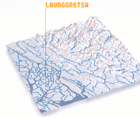 Places with similar names to Launggretsa, Myanmar ::
// Llano Cortez (PA)
// Lunca Rateş (RO)
Disclaimer :: Information on this page comes without warranty of any kind |
||
|
Where is Launggretsa? Elevation and coordinates ::
Latitude (lat): 20°19'0"N Longitude (lon): 93°9'0"E
Elevation (approx.): 1m (map arrows pan, magnifying glasses zoom) |
||
|
Visiting Launggretsa? Hotel/Accommodation ::
Book a hotel in Launggretsa Travel Guide ::
Buy a travel guide for Myanmar rental cars ::
car rental offers GPS waypoint ::
download a GPX waypoint (PoI) of Launggretsa for your GPS receiver
|
||