|
search place name
|
||
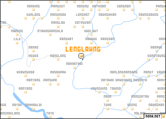
Lenglawng (Shan, Myanmar)Lenglawng is a town in the Shan region of Myanmar. An overview map of the region around Lenglawng is displayed below.
regional and 3d topo map of Lenglawng, Myanmar ::
Lenglawng airports ::
The nearest airport is LSH - Lashio, located 37.3 km north east of Lenglawng.
Other airports nearby include MDL - Mandalay Intl (194.3 km south west), Nearby towns ::
Nākun (2.5km north west) //
Namhathai (2.5km south west) //
Nāhawk (4.1km north east) //
Pang-san (3.9km north east) //
Pānghat (5.0km north west) //
Panglong (5.1km west) //
Hwelawt (5.8km north) //
Nawngngün (5.8km north) //
Pang-san (6.3km north east) //
Masawpaw (6.3km south west) //
Mān-kwam-mān-tao (7.4km north) //
Kotpukan (7.4km north) //
Hsāmhka (7.6km north) //
Na-mun (7.6km south east) //
Na-ya-wai (7.6km south east) //
Nammākmo (7.6km south west) //
Kawng-wing (8.2km south east) //
Pānglaw (9.0km north west) //
Pansupe (8.8km south west) //
Nyawngpānghlā (8.8km north west) //
Taw-nio (10.1km south east) //
[all distances 'as the bird flies' and approximate] 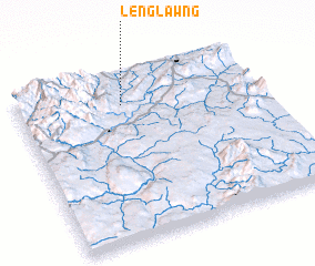 Places with similar names to Lenglawng, Myanmar ::
// Linglingay (PH)
// Lingaling (PH)
// Lingaling (PH)
// Longalong (PH)
// Long Langai (MY)
// Linga Longa (ZA)
// Laongo Lango (BF)
// Lingo Lingo (CL)
// Langa-Langa (CD)
// Langalanga (CD)
Disclaimer :: Information on this page comes without warranty of any kind |
||
|
Where is Lenglawng? Elevation and coordinates ::
Latitude (lat): 22°49'0"N Longitude (lon): 97°26'0"E
Elevation (approx.): 534m (map arrows pan, magnifying glasses zoom) |
||
|
Visiting Lenglawng? Hotel/Accommodation ::
Book a hotel in Lenglawng Travel Guide ::
Buy a travel guide for Myanmar rental cars ::
car rental offers GPS waypoint ::
download a GPX waypoint (PoI) of Lenglawng for your GPS receiver
|
||