|
search place name
|
||
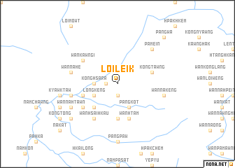
Loi-leik (Shan, Myanmar)Loi-leik is a town in the Shan region of Myanmar. An overview map of the region around Loi-leik is displayed below.
regional and 3d topo map of Loi-leik, Myanmar ::
Loi-leik airports ::
The nearest airport is LSH - Lashio, located 124.8 km north east of Loi-leik.
Other airports nearby include MDL - Mandalay Intl (131.4 km west), HEH - Heho (142.0 km south), Nearby towns ::
Wān Hsamte (1.9km south) //
Nammawlong (1.9km south) //
Wan Namtau (1.7km west) //
Konghsara (3.4km west) //
Pangkot (4.1km south east) //
Longkeng (3.9km south west) //
Wān Loi-yu (5.1km south west) //
Nā-noi (5.6km south) //
Kongtawng (5.5km east) //
Wān Htam (5.8km south) //
Wān U-mu (5.5km west) //
Wān Kawngi (6.3km north west) //
Wān Hsai-hkau (6.5km south west) //
Nawngwo (6.4km south west) //
Wān Nā-keng (7.1km east) //
Nā-kōk (7.1km west) //
Wān Nā-he (7.1km west) //
Wān Hota (7.1km west) //
Pamein (7.6km north east) //
Wān Nā-htawn (7.8km south west) //
Pangtap (8.8km south west) //
Pāngwa (10.1km north east) //
[all distances 'as the bird flies' and approximate] 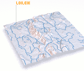 Places with similar names to Loi-leik, Myanmar ::
Disclaimer :: Information on this page comes without warranty of any kind |
||
|
Where is Loi-leik? Elevation and coordinates ::
Latitude (lat): 21°58'0"N Longitude (lon): 97°13'0"E
Elevation (approx.): 741m (map arrows pan, magnifying glasses zoom) |
||
|
Visiting Loi-leik? Hotel/Accommodation ::
Book a hotel in Loi-leik Travel Guide ::
Buy a travel guide for Myanmar rental cars ::
car rental offers GPS waypoint ::
download a GPX waypoint (PoI) of Loi-leik for your GPS receiver
|
||