|
search place name
|
||
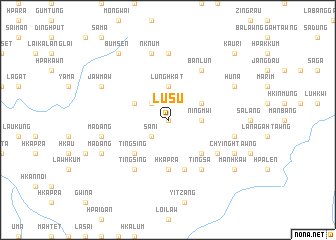
Lu-su (Kachin State, Myanmar)Lu-su is a town in the Kachin State region of Myanmar. An overview map of the region around Lu-su is displayed below.
regional and 3d topo map of Lu-su, Myanmar ::
nearby GPS traces from timatio ::
Lu-su airports ::
The nearest airport is LSH - Lashio, located 123.0 km south of Lu-su.
Other airports nearby include MYT - Myitkyina (146.8 km north), Nearby towns ::
Lahtaw Hpakkum (0.0km north) //
Wabaw Yitkan (2.5km north west) //
Sani (2.5km south west) //
Ningmwi (3.4km east) //
Lung Hkat (3.7km north) //
Shangaw (3.9km north east) //
Wabaw Lāhta (3.9km north west) //
Wabaw Lawu (3.9km north west) //
Mungba (5.0km south east) //
Tingsing (5.0km south west) //
Hkapra (5.6km south) //
Hkanawng (5.8km south) //
Tingsa (6.5km south east) //
Namje (6.5km north east) //
Banlun (6.5km north east) //
Wala (6.3km south east) //
Tingsing (6.5km south west) //
Mai Kung (7.4km north) //
Nknum (7.6km north) //
Mungba Pa (7.0km east) //
Mādang (7.0km west) //
Huna (7.7km north east) //
Chying Htawng (7.7km south east) //
Jawmaw (7.7km north west) //
Mādang (7.7km south west) //
Bumsen (9.0km north west) //
Mān Hkaw (8.8km south east) //
Kauri (10.0km north east) //
Bangjung (10.0km north east) //
[all distances 'as the bird flies' and approximate] 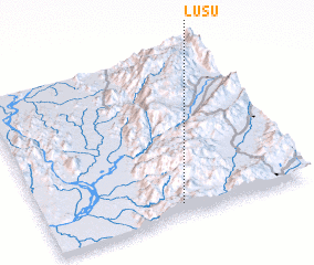 Places with similar names to Lu-su, Myanmar ::
Disclaimer :: Information on this page comes without warranty of any kind |
||
|
Where is Lu-su? Elevation and coordinates ::
Latitude (lat): 24°4'0"N Longitude (lon): 97°31'0"E
Elevation (approx.): 1099m (map arrows pan, magnifying glasses zoom) |
||
|
Visiting Lu-su? Hotel/Accommodation ::
Book a hotel in Lu-su Travel Guide ::
Buy a travel guide for Myanmar rental cars ::
car rental offers GPS waypoint ::
download a GPX waypoint (PoI) of Lu-su for your GPS receiver
|
||