|
search place name
|
||
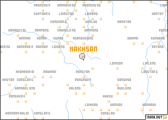
Makhsan (Shan, Myanmar)Makhsan is a town in the Shan region of Myanmar. An overview map of the region around Makhsan is displayed below.
regional and 3d topo map of Makhsan, Myanmar ::
Makhsan airports ::
The nearest airport is HEH - Heho, located 115.9 km south west of Makhsan.
Other airports nearby include LSH - Lashio (164.8 km north), MDL - Mandalay Intl (166.0 km west), MOG - Mong Hsat (206.7 km south east), Nearby towns ::
Hkamna (1.9km north) //
Kongsaihsu (2.5km south east) //
Namhu (2.5km south east) //
Ying-nāng (2.5km north east) //
Hsang-hsong (3.7km north) //
Pongyam (3.7km south) //
Wān Kāp (5.1km north west) //
Pangmawn (5.6km south) //
Maiyum (5.8km south) //
Panghsèngnang (5.8km south) //
Wān Pöng (5.8km north) //
Loi-wēng (5.5km west) //
Kunniu (5.5km west) //
Kunna (6.4km north west) //
Kongmakmöng (6.4km north west) //
Kawnglèng (6.5km north west) //
Hkam-hawng (6.5km north west) //
Nemlang (6.5km south west) //
Wān-hkun (7.4km north) //
Pangmawn (7.4km south) //
Loi-ngon (7.1km east) //
Wān Loi (7.6km north) //
Wān Lwè (7.6km north) //
Kalöng (7.6km south) //
Pawhpoi (7.8km south west) //
Hkai-wun (8.2km north west) //
Mèhsem (8.9km south east) //
Kongmöng (9.0km north west) //
Wān Kan (10.1km south east) //
[all distances 'as the bird flies' and approximate] 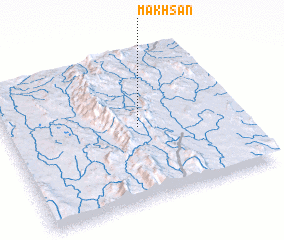 Places with similar names to Makhsan, Myanmar ::
Disclaimer :: Information on this page comes without warranty of any kind |
||
|
Where is Makhsan? Elevation and coordinates ::
Latitude (lat): 21°30'0"N Longitude (lon): 97°34'0"E
Elevation (approx.): 1258m (map arrows pan, magnifying glasses zoom) |
||
|
Visiting Makhsan? Hotel/Accommodation ::
Book a hotel in Makhsan Travel Guide ::
Buy a travel guide for Myanmar rental cars ::
car rental offers GPS waypoint ::
download a GPX waypoint (PoI) of Makhsan for your GPS receiver
|
||