|
search place name
|
||
Mān-loi-mun (Shan, Myanmar)Mān-loi-mun is a town in the Shan region of Myanmar. An overview map of the region around Mān-loi-mun is displayed below.
regional and 3d topo map of Mān-loi-mun, Myanmar ::

Mān-loi-mun airports ::
The nearest airport is LSH - Lashio, located 19.2 km west of Mān-loi-mun.
Other airports nearby include MDL - Mandalay Intl (243.3 km south west), KET - Kengtung (252.0 km south east), Nearby towns ::
Mān Kang (1.9km south) //
Mān-kye (1.9km south) //
Nā-yok (4.1km south west) //
Man-loi-pyek (4.1km north west) //
Ho-hwè (3.9km north east) //
Konghsa (3.9km north east) //
Mān-kao-long (5.0km north east) //
Namlen (5.4km east) //
Mān-low-mun (5.4km west) //
Namee (6.5km north west) //
Mān Kawngsan (6.3km north east) //
Möng Het (6.3km north east) //
Kong-hka (7.1km west) //
Nawngmo (7.6km north east) //
Konghè (7.6km north west) //
Loi-saung (7.8km south west) //
Ho-nang (7.8km south east) //
Nawngngun (7.8km north east) //
Na-hka (9.0km south east) //
Kong-kham (9.0km north west) //
[all distances 'as the bird flies' and approximate] 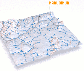 Places with similar names to Mān-loi-mun, Myanmar ::
// Mān Loi-men (MM)
// Mān Loi-mun (MM)
// Mān-low-mun (MM)
// Manlumana (PH)
// Manalombony (MG)
// Mina El Limón (NI)
// Manuel Mina (DO)
// Mina Illimani (BO)
Disclaimer :: Information on this page comes without warranty of any kind |
||
|
Where is Mān-loi-mun? Elevation and coordinates ::
Latitude (lat): 22°56'0"N Longitude (lon): 97°56'0"E
Elevation (approx.): 1060m (map arrows pan, magnifying glasses zoom) |
||
|
Visiting Mān-loi-mun? Hotel/Accommodation ::
Book a hotel in Mān-loi-mun Travel Guide ::
Buy a travel guide for Myanmar rental cars ::
car rental offers GPS waypoint ::
download a GPX waypoint (PoI) of Mān-loi-mun for your GPS receiver
|
||