|
search place name
|
||
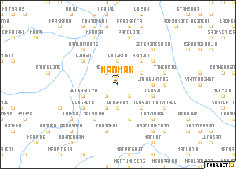
Mān Mak (Shan, Myanmar)Mān Mak is a town in the Shan region of Myanmar. An overview map of the region around Mān Mak is displayed below.
regional and 3d topo map of Mān Mak, Myanmar ::
Mān Mak airports ::
The nearest airport is LSH - Lashio, located 112.7 km south west of Mān Mak.
Other airports nearby include MYT - Myitkyina (199.3 km north west), Nearby towns ::
Mān Hpa-hsu (1.9km north) //
Mān Kawng (2.5km south west) //
Mān Hpakkum (2.5km south east) //
Möng Hawm (2.5km north west) //
Pinghkam (3.7km south) //
Nawngwao (3.7km north) //
Longkam (3.7km north) //
Mu-ti (4.1km south west) //
Nawnglong (3.9km north east) //
Ta-hsan (5.0km south east) //
Hki-mupa (5.0km north east) //
Lawhsu-htang (5.1km east) //
Panghsunya (5.4km west) //
Lao-sai (5.4km east) //
Namtawng (5.4km east) //
Ban Baw (5.4km east) //
Nawnghseng (5.8km south) //
Panghpuk (6.3km south west) //
Namhsawnghko (6.5km south west) //
Namsamhu (6.5km south west) //
Loi-hsa (6.3km north west) //
Som Möng (6.3km north east) //
Lao-sai (6.8km east) //
Nawnghoi (7.6km south) //
Namhtam (7.6km north) //
Panglong (7.6km north) //
Ta-hö-hkao (7.0km east) //
Mān Loi-taung (7.5km north west) //
Lao-yinhaw (7.5km south east) //
[all distances 'as the bird flies' and approximate] 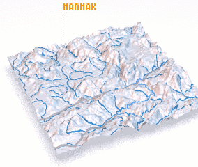 Places with similar names to Mān Mak, Myanmar ::
Disclaimer :: Information on this page comes without warranty of any kind |
||
|
Where is Mān Mak? Elevation and coordinates ::
Latitude (lat): 23°50'0"N Longitude (lon): 98°21'0"E
Elevation (approx.): 1234m (map arrows pan, magnifying glasses zoom) |
||
|
Visiting Mān Mak? Hotel/Accommodation ::
Book a hotel in Mān Mak Travel Guide ::
Buy a travel guide for Myanmar rental cars ::
car rental offers GPS waypoint ::
download a GPX waypoint (PoI) of Mān Mak for your GPS receiver
|
||