|
search place name
|
||
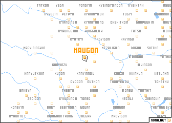
Ma-u-gon (Ayeyarwady, Myanmar)Ma-u-gon is a town in the Ayeyarwady region of Myanmar. An overview map of the region around Ma-u-gon is displayed below.
regional and 3d topo map of Ma-u-gon, Myanmar ::
Ma-u-gon airports ::
The nearest airport is SNW - Thandwe, located 113.2 km north west of Ma-u-gon.
Other airports nearby include RGN - Yangon Intl (147.8 km south east), KYP - Kyaukpyu (243.8 km north west), Nearby towns ::
Thabaw (1.9km south) //
Chingon (1.8km east) //
Legyi (2.6km north east) //
Kanyinngu (3.7km south) //
Kyatkyi (4.1km north west) //
Magyigon (5.1km north east) //
Kanyinzu (5.6km west) //
Gyogon (5.8km south) //
Mezaligon (5.6km east) //
Ainggalaw (5.8km north) //
Putkon (5.8km south) //
Thabyebin (5.8km north) //
Zaungdan (6.5km south east) //
Kun-on (6.5km south west) //
Thègon (6.6km south west) //
Kyaunggwin (6.6km north west) //
Payagwin (7.1km east) //
Pozadaw (7.4km north) //
Payāgwin-yele (7.1km east) //
Okshitkon (7.3km west) //
Sibin (7.6km south) //
Akyagwin (7.3km west) //
Nyaungbintha (7.3km west) //
Yobyè (7.6km north) //
Kyani Taung (7.6km north) //
Taungni Aukkyin (7.7km south west) //
Thèbyu (8.2km south west) //
Kyanginzu (8.2km north west) //
Kanze (8.0km south east) //
[all distances 'as the bird flies' and approximate] 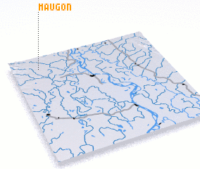 Places with similar names to Ma-u-gon, Myanmar ::
Disclaimer :: Information on this page comes without warranty of any kind |
||
|
Where is Ma-u-gon? Elevation and coordinates ::
Latitude (lat): 17°53'0"N Longitude (lon): 95°11'0"E
Elevation (approx.): 22m (map arrows pan, magnifying glasses zoom) |
||
|
Visiting Ma-u-gon? Hotel/Accommodation ::
Book a hotel in Ma-u-gon Travel Guide ::
Buy a travel guide for Myanmar rental cars ::
car rental offers GPS waypoint ::
download a GPX waypoint (PoI) of Ma-u-gon for your GPS receiver
|
||