|
search place name
|
||
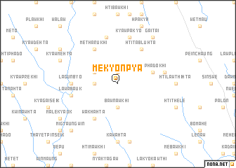
Mekyonpya (Kayin, Myanmar)Mekyonpya is a town in the Kayin region of Myanmar. An overview map of the region around Mekyonpya is displayed below.
regional and 3d topo map of Mekyonpya, Myanmar ::
Mekyonpya airports ::
The nearest airport is RGN - Yangon Intl, located 158.8 km south west of Mekyonpya.
Nearby towns ::
Peinnedaw (1.9km north) //
Polohta (3.5km west) //
Bawnawkhi (3.7km south) //
Mètharu (4.0km north west) //
Htiphadokhi (5.6km east) //
Bawthohta (5.6km east) //
Htitabluhta (6.6km north east) //
Mètharukhi (6.6km north west) //
Wakhahta (6.6km south west) //
Lagunbyo (7.1km west) //
Kyawpakyo (7.6km north) //
Wathokla (7.3km east) //
Htinadē (7.6km north) //
Lawabauk (7.3km west) //
Gaitai (9.1km north east) //
Migyaungwin (10.2km south west) //
[all distances 'as the bird flies' and approximate] 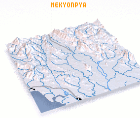 Places with similar names to Mekyonpya, Myanmar :: Disclaimer :: Information on this page comes without warranty of any kind |
||
|
Where is Mekyonpya? Elevation and coordinates ::
Latitude (lat): 17°43'0"N Longitude (lon): 97°22'0"E
Elevation (approx.): 414m (map arrows pan, magnifying glasses zoom) |
||
|
Visiting Mekyonpya? Hotel/Accommodation ::
Book a hotel in Mekyonpya Travel Guide ::
Buy a travel guide for Myanmar rental cars ::
car rental offers GPS waypoint ::
download a GPX waypoint (PoI) of Mekyonpya for your GPS receiver
|
||