|
search place name
|
||
Möng Pat (Shan, Myanmar)Möng Pat is a town in the Shan region of Myanmar. An overview map of the region around Möng Pat is displayed below.
regional and 3d topo map of Möng Pat, Myanmar ::

Möng Pat airports ::
The nearest airport is LSH - Lashio, located 59.8 km north west of Möng Pat.
Other airports nearby include KET - Kengtung (210.6 km south east), HEH - Heho (238.7 km south west), Nearby towns ::
Mān Wan (1.9km north) //
Mān Loi (2.5km south east) //
Möng Kang (3.7km south) //
Ta-kai (4.1km north west) //
Kungmong (3.9km north east) //
Nangwe (7.1km east) //
Na-mun (7.8km south west) //
Kawnglang (7.8km north east) //
Hko-nim (10.1km south west) //
Loi-pek (10.1km north east) //
[all distances 'as the bird flies' and approximate] 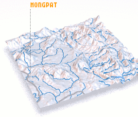 Places with similar names to Möng Pat, Myanmar ::
// Möng Pat (MM)
// Möngpat (MM)
// Mangapet (IN)
// Muang Pot (LA)
// Muang Pôt (LA)
// Mương Piet (VN)
// Manco Pata (BO)
Disclaimer :: Information on this page comes without warranty of any kind |
||
|
Where is Möng Pat? Elevation and coordinates ::
Latitude (lat): 22°32'0"N Longitude (lon): 98°5'0"E
Elevation (approx.): 977m (map arrows pan, magnifying glasses zoom) |
||
|
Visiting Möng Pat? Hotel/Accommodation ::
Book a hotel in Möng Pat Travel Guide ::
Buy a travel guide for Myanmar rental cars ::
car rental offers GPS waypoint ::
download a GPX waypoint (PoI) of Möng Pat for your GPS receiver
|
||