|
search place name
|
||
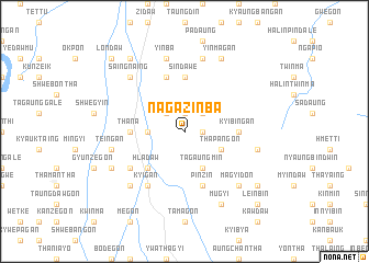
Nagazinba (Sagaing, Myanmar)Nagazinba is a town in the Sagaing region of Myanmar. An overview map of the region around Nagazinba is displayed below.
regional and 3d topo map of Nagazinba, Myanmar ::
Nagazinba airports ::
The nearest airport is MDL - Mandalay Intl, located 83.6 km south of Nagazinba.
Other airports nearby include HEH - Heho (215.8 km south east), Nearby towns ::
Tanintha (1.7km east) //
Hnawbin (1.7km east) //
Yindaw (1.9km north) //
Tangyigon (2.5km north east) //
Kyethigon (2.5km north west) //
Ponna (2.5km north west) //
Maukkyo (3.4km west) //
Thapangon (3.9km south east) //
Tagaungmin (4.1km south east) //
Hladaw (5.0km south west) //
Kyibingan (5.1km east) //
Sindawè (5.6km north) //
Thana (5.1km west) //
Pinzin (5.8km south) //
Onhnèbok (5.8km north) //
Kyigan (6.5km south west) //
Yedwet (6.3km south west) //
Puthlaing (7.6km north) //
Thakuttaw (7.1km east) //
Yinba (7.6km north) //
Teingan (7.1km west) //
Magyidon (7.6km south east) //
Saingnaing (7.6km north west) //
Uyinma (7.6km south west) //
Yinmagan (8.2km north east) //
Mugyi (8.2km south east) //
Myitnaban (7.8km south west) //
Wetlet (8.8km south east) //
Minzu (8.8km south east) //
[all distances 'as the bird flies' and approximate] 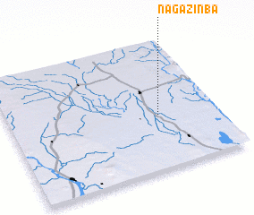 Places with similar names to Nagazinba, Myanmar ::
// Niuxinbu (CN)
Disclaimer :: Information on this page comes without warranty of any kind |
||
|
Where is Nagazinba? Elevation and coordinates ::
Latitude (lat): 22°25'0"N Longitude (lon): 95°43'0"E
Elevation (approx.): 87m (map arrows pan, magnifying glasses zoom) |
||
|
Visiting Nagazinba? Hotel/Accommodation ::
Book a hotel in Nagazinba Travel Guide ::
Buy a travel guide for Myanmar rental cars ::
car rental offers GPS waypoint ::
download a GPX waypoint (PoI) of Nagazinba for your GPS receiver
|
||