|
search place name
|
||
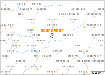
Nawngsang (Shan, Myanmar)Nawngsang is a town in the Shan region of Myanmar. An overview map of the region around Nawngsang is displayed below.
regional and 3d topo map of Nawngsang, Myanmar ::
Nawngsang airports ::
The nearest airport is LSH - Lashio, located 66.3 km north west of Nawngsang.
Other airports nearby include KET - Kengtung (206.5 km south east), HEH - Heho (270.2 km south west), Nearby towns ::
Pāngpao (3.7km north) //
Māklāng (3.9km north west) //
Kungwet (3.9km south west) //
Konglong (5.6km north) //
Hpa-hping (5.1km east) //
Na-hkak (5.1km west) //
Namhsim (5.8km south) //
Na-mawn (7.1km west) //
Hkawknoi (7.6km south) //
Namhsawk (7.6km south west) //
Namhu (8.2km north east) //
Namhkam (7.8km south west) //
Na-hon (7.8km south east) //
Möng Ma (8.8km north west) //
Loi-kang (8.8km north east) //
Na-tu (9.0km south west) //
Pāngwo-lai (10.1km north east) //
Möng Keng (10.1km south east) //
[all distances 'as the bird flies' and approximate] 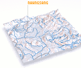 Places with similar names to Nawngsang, Myanmar ::
// Nawng-sang (MM)
// Nawngsang (MM)
// Nawngsang (MM)
// Nawngsang (MM)
// Nawngsang (MM)
// Nawngsāng (MM)
// Nawng-saung (MM)
// Nawng-saung (MM)
// Nawngsawng (MM)
// Nawng-song (MM)
Disclaimer :: Information on this page comes without warranty of any kind |
||
|
Where is Nawngsang? Elevation and coordinates ::
Latitude (lat): 22°43'0"N Longitude (lon): 98°20'0"E
Elevation (approx.): 1384m (map arrows pan, magnifying glasses zoom) |
||
|
Visiting Nawngsang? Hotel/Accommodation ::
Book a hotel in Nawngsang Travel Guide ::
Buy a travel guide for Myanmar rental cars ::
car rental offers GPS waypoint ::
download a GPX waypoint (PoI) of Nawngsang for your GPS receiver
|
||