|
search place name
|
||
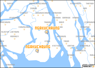
Ngakuchaung (Rakhine, Myanmar)Ngakuchaung is a town in the Rakhine region of Myanmar. An overview map of the region around Ngakuchaung is displayed below.
regional and 3d topo map of Ngakuchaung, Myanmar ::
Ngakuchaung airports ::
The nearest airport is AKY - Sittwe, located 42.9 km west of Ngakuchaung.
Other airports nearby include KYP - Kyaukpyu (82.6 km south), CXB - Cox's Bazar Coxs Bazar (200.5 km north west), SNW - Thandwe (213.8 km south east), Nearby towns ::
Kalangyun (2.5km north west) //
Kyagu (3.7km south) //
Tawgan (3.7km north) //
Kamaungdaw (3.9km north east) //
Pyinchaung (5.8km south) //
Wetgaung (5.5km east) //
Kyetyegyi (6.6km south east) //
Pyindaw (6.6km north east) //
Sa-ein (6.4km north east) //
Gwedaukchaung (7.6km north) //
Ngakuchaung (8.2km south west) //
Oktaya (8.2km north west) //
Tagôn (7.9km south east) //
Kyaukkôk (8.2km north east) //
Aingwun (9.1km north west) //
Sarakdo (8.9km north east) //
[all distances 'as the bird flies' and approximate] 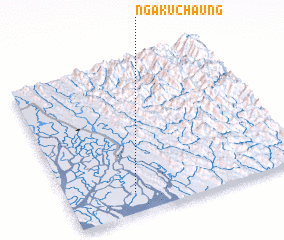 Places with similar names to Ngakuchaung, Myanmar ::
// Ngakuchaung (MM)
Disclaimer :: Information on this page comes without warranty of any kind |
||
|
Where is Ngakuchaung? Elevation and coordinates ::
Latitude (lat): 20°8'0"N Longitude (lon): 93°17'0"E
(map arrows pan, magnifying glasses zoom) |
||
|
Visiting Ngakuchaung? Hotel/Accommodation ::
Book a hotel in Ngakuchaung Travel Guide ::
Buy a travel guide for Myanmar rental cars ::
car rental offers GPS waypoint ::
download a GPX waypoint (PoI) of Ngakuchaung for your GPS receiver
|
||