|
search place name
|
||
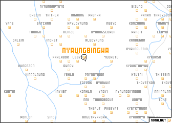
Nyaungbingwa (Shan, Myanmar)Nyaungbingwa is a town in the Shan region of Myanmar. An overview map of the region around Nyaungbingwa is displayed below.
regional and 3d topo map of Nyaungbingwa, Myanmar ::
Nyaungbingwa airports ::
The nearest airport is HEH - Heho, located 35.0 km south east of Nyaungbingwa.
Other airports nearby include MDL - Mandalay Intl (100.8 km north west), Nearby towns ::
Lebya (1.7km west) //
Leywa (2.5km north west) //
Tawgye (3.5km west) //
Myinkyado (3.7km south) //
Pwegyi (3.9km south west) //
Alegyaung (4.1km north east) //
Payagyigon (4.1km south east) //
Yehla (5.1km south west) //
Mwinigon (5.6km north) //
Yedwet-u (5.2km east) //
Pawlabok (5.2km west) //
Tatpok (5.6km south) //
Minlaingbinywathit (5.6km south) //
Keinzu (6.5km north west) //
Myinle (6.4km north west) //
Nyaungsedauk (6.5km north east) //
Myindwin (6.5km south east) //
Konhla (7.4km south) //
Hpyugyaung (7.6km north) //
Myinwun (7.6km south) //
Kanbyin (7.6km north west) //
Pyida (8.2km north west) //
Telu (7.9km north west) //
Indwet (7.9km north west) //
Yagyi (8.2km south east) //
Me-byo (9.0km north east) //
Waywet (9.1km south west) //
Nyaungchidauk (10.1km south east) //
[all distances 'as the bird flies' and approximate] 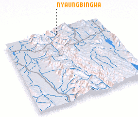 Places with similar names to Nyaungbingwa, Myanmar :: Disclaimer :: Information on this page comes without warranty of any kind |
||
|
Where is Nyaungbingwa? Elevation and coordinates ::
Latitude (lat): 20°58'0"N Longitude (lon): 96°33'0"E
Elevation (approx.): 1289m (map arrows pan, magnifying glasses zoom) |
||
|
Visiting Nyaungbingwa? Hotel/Accommodation ::
Book a hotel in Nyaungbingwa Travel Guide ::
Buy a travel guide for Myanmar rental cars ::
car rental offers GPS waypoint ::
download a GPX waypoint (PoI) of Nyaungbingwa for your GPS receiver
|
||