|
search place name
|
||
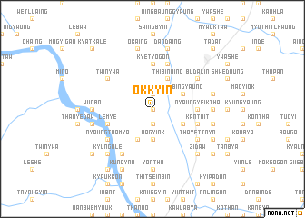
Okkyin (Sagaing, Myanmar)Okkyin is a town in the Sagaing region of Myanmar. An overview map of the region around Okkyin is displayed below.
regional and 3d topo map of Okkyin, Myanmar ::
Okkyin airports ::
The nearest airport is MDL - Mandalay Intl, located 115.8 km south east of Okkyin.
Other airports nearby include HEH - Heho (249.4 km south east), Nearby towns ::
Thayettaw (0.0km north) //
Yonhlegon (1.9km south) //
Kokkozu (1.9km north) //
Kyizu (3.7km south) //
Magyi-ok (3.7km south) //
Thanmadaw (4.1km south west) //
Anauktaw (3.9km south east) //
Kyibingyaung (3.9km north east) //
Songon (3.9km north east) //
Thibinaing (4.1km north east) //
Nyaungyeiktha (5.1km east) //
Kyetyogon (5.6km north) //
Kanthit (5.5km east) //
Lemye (5.5km west) //
Kyauk-o (5.8km north) //
Thayettoyo (6.3km south east) //
Tandaw (6.5km south west) //
Nyaunggon (6.5km south west) //
Nyaungthamya (6.3km south west) //
Natlabo Myauk (6.3km south west) //
Budalin (6.3km north east) //
Twinywa (6.3km north west) //
Yontha (7.4km south) //
Mayodaw Myauk (7.4km south) //
Wunbo (6.9km west) //
Minshwe (6.9km east) //
Aunggyantha (6.9km east) //
Onbinzeik (7.1km west) //
Yondaw (7.1km east) //
[all distances 'as the bird flies' and approximate] 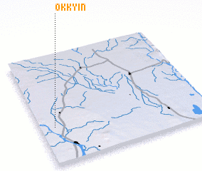 Places with similar names to Okkyin, Myanmar ::
Disclaimer :: Information on this page comes without warranty of any kind |
||
|
Where is Okkyin? Elevation and coordinates ::
Latitude (lat): 22°20'0"N Longitude (lon): 95°5'0"E
Elevation (approx.): 99m (map arrows pan, magnifying glasses zoom) |
||
|
Visiting Okkyin? Hotel/Accommodation ::
Book a hotel in Okkyin Travel Guide ::
Buy a travel guide for Myanmar rental cars ::
car rental offers GPS waypoint ::
download a GPX waypoint (PoI) of Okkyin for your GPS receiver
|
||