|
search place name
|
||
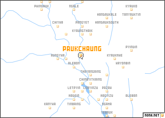
Paukchaung (Myanmar)Paukchaung is a town in Myanmar. An overview map of the region around Paukchaung is displayed below.
regional and 3d topo map of Paukchaung, Myanmar ::
Paukchaung airports ::
The nearest airport is KYP - Kyaukpyu, located 142.0 km south west of Paukchaung.
Other airports nearby include AKY - Sittwe (150.0 km west), MDL - Mandalay Intl (222.4 km north east), Nearby towns ::
Alebôn (2.5km south west) //
Pônzeik (3.5km west) //
Shwedaw (3.5km west) //
Thayangaing (4.1km south east) //
Aungywa (5.2km west) //
Aukpôn (5.6km south) //
Thingyan (5.6km north) //
Kyaungthaik (5.6km north) //
Chinbyitkaing (5.8km south) //
Pazu (5.8km north) //
Kôntaya (6.6km north west) //
Pazawbya (6.4km south east) //
Pangyet (7.4km north) //
Auk-pôngôn (7.4km south) //
Sidoktaya (7.4km south) //
Ywathit (7.4km south) //
Kyaukmwe (6.9km east) //
Nyaung-aing (7.6km south) //
Lèbyinzu (7.6km south) //
Letpyin (7.6km south) //
Chiywa (9.1km north west) //
Handauk South (9.1km north east) //
Pazaw (9.1km south east) //
[all distances 'as the bird flies' and approximate] 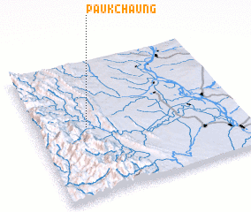 Places with similar names to Paukchaung, Myanmar ::
// Paukchaung (MM)
// Paukchaung (MM)
// Paukchaung (MM)
// Pak Chong (TH)
// Paekchung (KP)
// Pukch'ang (KR)
// Pukch'ang (KR)
// Pukch'ang (KP)
// Pukshen'ga (RU)
// Hpukchang (MM)
Disclaimer :: Information on this page comes without warranty of any kind |
||
|
Where is Paukchaung? Elevation and coordinates ::
Latitude (lat): 20°31'0"N Longitude (lon): 94°15'0"E
Elevation (approx.): 142m (map arrows pan, magnifying glasses zoom) |
||
|
Visiting Paukchaung? Hotel/Accommodation ::
Book a hotel in Paukchaung Travel Guide ::
Buy a travel guide for Myanmar rental cars ::
car rental offers GPS waypoint ::
download a GPX waypoint (PoI) of Paukchaung for your GPS receiver
|
||