|
search place name
|
||
Peinpein-atet (Myanmar)Peinpein-atet is a town in Myanmar. An overview map of the region around Peinpein-atet is displayed below.
regional and 3d topo map of Peinpein-atet, Myanmar ::

Peinpein-atet airports ::
The nearest airport is RGN - Yangon Intl, located 158.9 km south west of Peinpein-atet.
Nearby towns ::
Nattaung (1.9km north) //
Sawbèdo-ywazo (1.8km west) //
Dubaw (1.9km south) //
Tibaluta-ywazo (2.6km south east) //
Sawbèdo (2.6km north west) //
Peinpein-auk (2.6km south west) //
Wakwi (3.7km south) //
Sawpèdo-alè (3.5km west) //
Ti-nyamoki (4.1km north east) //
Sinbyu-aing-atet (4.1km south west) //
Sinbyu-aing-auk (4.1km south west) //
Sawpedo-auk (4.0km south west) //
Lēwa Chaung (5.6km north) //
Lèwa (5.6km north) //
Takakehi (5.3km west) //
Bolo-auk (5.8km south) //
Kyaukpya (5.8km south) //
Bolo-atetywa (5.8km south) //
Thukoba (5.8km south) //
Maude (6.5km south east) //
Taho-au (7.3km east) //
Kwila (7.6km north) //
Mèzaungwa (7.6km south) //
Bauthemudo (7.7km north east) //
Taingbinywa (8.0km north west) //
Laukalausi (9.0km north east) //
Mauthamyiso (9.0km south east) //
Mauthamyiso Auk (9.0km south east) //
Taunggyigyaw (9.0km north west) //
[all distances 'as the bird flies' and approximate] 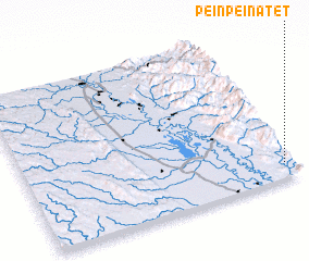 Places with similar names to Peinpein-atet, Myanmar :: Disclaimer :: Information on this page comes without warranty of any kind |
||
|
Where is Peinpein-atet? Elevation and coordinates ::
Latitude (lat): 18°6'0"N Longitude (lon): 96°58'0"E
Elevation (approx.): 114m (map arrows pan, magnifying glasses zoom) |
||
|
Visiting Peinpein-atet? Hotel/Accommodation ::
Book a hotel in Peinpein-atet Travel Guide ::
Buy a travel guide for Myanmar rental cars ::
car rental offers GPS waypoint ::
download a GPX waypoint (PoI) of Peinpein-atet for your GPS receiver
|
||