|
search place name
|
||
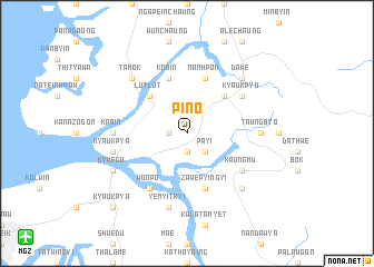
Pin-o (Myanmar)Pin-o is a town in Myanmar. An overview map of the region around Pin-o is displayed below.
regional and 3d topo map of Pin-o, Myanmar ::
Pin-o airports ::
The nearest airport is MGZ - Myeik, located 18.9 km south west of Pin-o.
Other airports nearby include HHQ - Prachuap Khiri Khan Hua Hin (129.3 km east), BKK - Bangkok Intl (251.1 km north east), Nearby towns ::
Salin (1.9km south) //
Tamyaung (1.8km west) //
Payi (2.6km south east) //
Adon (5.2km north east) //
Lutlut (5.2km north west) //
Nanhpon (5.8km north) //
Zawepyingyi (5.8km south) //
Tarokpyin (5.8km south) //
Kobin (5.8km north) //
Taubye (6.6km south east) //
Kaungmu (6.6km south east) //
Kyauk-pyu (6.6km north east) //
Wunpo (6.6km south west) //
Taungbyo (7.2km east) //
Kabin (7.2km west) //
Taungyade (7.2km west) //
Yemyitkyi (7.6km south) //
Kyaukpya (7.5km west) //
Dawe (7.8km north east) //
Tamok (7.8km north west) //
Tharapyet (7.8km south east) //
Kywegu (8.1km south west) //
Kyaukpya (10.4km south west) //
[all distances 'as the bird flies' and approximate] 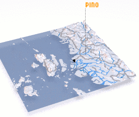 Places with similar names to Pin-o, Myanmar ::
Disclaimer :: Information on this page comes without warranty of any kind |
||
|
Where is Pin-o? Elevation and coordinates ::
Latitude (lat): 12°32'0"N Longitude (lon): 98°46'0"E
Elevation (approx.): 23m (map arrows pan, magnifying glasses zoom) |
||
|
Visiting Pin-o? Hotel/Accommodation ::
Book a hotel in Pin-o Travel Guide ::
Buy a travel guide for Myanmar rental cars ::
car rental offers GPS waypoint ::
download a GPX waypoint (PoI) of Pin-o for your GPS receiver
|
||