|
search place name
|
||
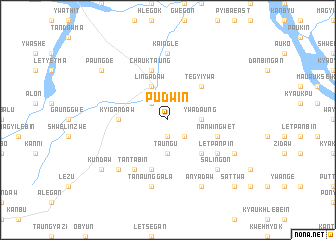
Pudwin (Myanmar)Pudwin is a town in Myanmar. An overview map of the region around Pudwin is displayed below.
regional and 3d topo map of Pudwin, Myanmar ::
Pudwin airports ::
The nearest airport is MDL - Mandalay Intl, located 96.0 km east of Pudwin.
Other airports nearby include HEH - Heho (210.3 km south east), Nearby towns ::
Kanzattaw (1.9km south) //
Nipasedaw (2.5km north west) //
Myemahla (2.5km south east) //
Ywadaung (3.4km east) //
Taungu (3.7km south) //
Lingadaw (4.1km north west) //
Tegyiywa (5.1km north east) //
Saingthe (5.1km south east) //
Petpe (5.1km south east) //
Tawywa (5.2km west) //
Kyigandaw (5.2km west) //
Nanwingwet (5.5km east) //
Chauktaung (5.8km north) //
Mayogan (5.8km north) //
Sinhlaung (5.8km south) //
Tantabin (6.5km south west) //
Kyetsugyin (6.4km south east) //
Letpanpin (6.4km south east) //
Kaingle (7.4km north) //
Tanaunggala (7.6km south) //
Kangyidaw (7.6km south west) //
Salingon (7.6km south east) //
Anyadaw (8.2km south east) //
Kyaukpu (7.8km south east) //
Paungdè (8.9km north west) //
Kundaw (8.9km south west) //
Sattwa (10.1km south east) //
[all distances 'as the bird flies' and approximate] 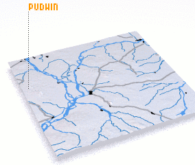 Places with similar names to Pudwin, Myanmar ::
Disclaimer :: Information on this page comes without warranty of any kind |
||
|
Where is Pudwin? Elevation and coordinates ::
Latitude (lat): 21°43'0"N Longitude (lon): 95°3'0"E
Elevation (approx.): 160m (map arrows pan, magnifying glasses zoom) |
||
|
Visiting Pudwin? Hotel/Accommodation ::
Book a hotel in Pudwin Travel Guide ::
Buy a travel guide for Myanmar rental cars ::
car rental offers GPS waypoint ::
download a GPX waypoint (PoI) of Pudwin for your GPS receiver
|
||