|
search place name
|
||
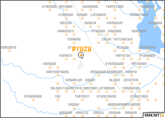
Pyuzu (Myanmar)Pyuzu is a town in Myanmar. An overview map of the region around Pyuzu is displayed below.
regional and 3d topo map of Pyuzu, Myanmar ::
Pyuzu airports ::
The nearest airport is RGN - Yangon Intl, located 153.6 km south of Pyuzu.
Nearby towns ::
Kwingyi (1.8km west) //
Gyogon (2.6km north west) //
Chaungzauk (2.6km north west) //
Kin-ingyi (3.5km west) //
Tumaung (4.1km north west) //
Thitpyuzein (5.1km north east) //
Mindan (5.1km south east) //
Pènwègon (5.1km south east) //
Thabeik (5.6km west) //
Gonde (5.8km north) //
Kinganlan (5.8km south) //
Dodan (5.8km south) //
Zibyugin (5.8km south) //
Kanyinmyaung (6.5km south west) //
Zalok (6.5km north east) //
Inwainggyi (6.6km north west) //
Thayetsein (6.6km north west) //
Kyungon (6.6km north east) //
Nyaungchedauk (6.6km north east) //
Gyobinyo (7.4km south) //
Ma-u-bin (7.3km east) //
Thapanbin (7.3km east) //
Kaingda (7.3km west) //
Kyeingagon (7.3km east) //
Kwebya (7.6km north) //
Daingtaya (7.6km south) //
Momaka (7.6km north) //
Magyibin (7.6km south) //
Sinzalok (7.6km north) //
[all distances 'as the bird flies' and approximate] 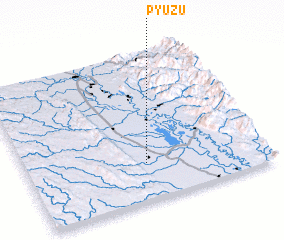 Places with similar names to Pyuzu, Myanmar ::
Disclaimer :: Information on this page comes without warranty of any kind |
||
|
Where is Pyuzu? Elevation and coordinates ::
Latitude (lat): 18°15'0"N Longitude (lon): 96°30'0"E
Elevation (approx.): 39m (map arrows pan, magnifying glasses zoom) |
||
|
Visiting Pyuzu? Hotel/Accommodation ::
Book a hotel in Pyuzu Travel Guide ::
Buy a travel guide for Myanmar rental cars ::
car rental offers GPS waypoint ::
download a GPX waypoint (PoI) of Pyuzu for your GPS receiver
|
||