|
search place name
|
||
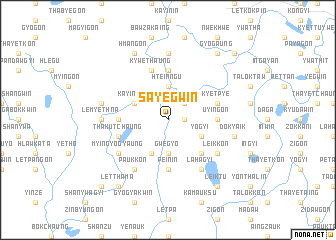
Sayegwin (Ayeyarwady, Myanmar)Sayegwin is a town in the Ayeyarwady region of Myanmar. An overview map of the region around Sayegwin is displayed below.
regional and 3d topo map of Sayegwin, Myanmar ::
Sayegwin airports ::
The nearest airport is RGN - Yangon Intl, located 124.0 km south east of Sayegwin.
Other airports nearby include SNW - Thandwe (136.0 km north west), KYP - Kyaukpyu (269.1 km north west), Nearby towns ::
Okpon (1.8km east) //
Le-uzu (2.6km north east) //
Hteinngu (3.7km north) //
Gwegyo (3.7km south) //
Yogyi (4.0km south east) //
Theingon (4.1km south west) //
Kayindaw (4.0km north west) //
Nyaungbinwe (4.0km north west) //
Kya-in (5.1km south east) //
Uyingon (5.3km east) //
Yekyikan (5.6km north) //
Pein-in (5.6km south) //
Gyangon (5.3km west) //
Kyetpye (5.6km east) //
Kywethaung (5.8km north) //
Thakutchaung (5.6km west) //
Lahagyi (6.6km south east) //
Leikkon (6.5km south east) //
Myingyogyaung (6.5km south west) //
Paukkon (6.6km south west) //
Tumyaung (7.4km north) //
Lemyethna (7.1km west) //
Dokyaik (7.3km east) //
Bithalun (7.3km west) //
Hmangon (8.2km north west) //
Thebyu (9.1km north east) //
Gyogaung (9.1km north east) //
Leiktu (9.1km south east) //
Letthama (9.1km south west) //
[all distances 'as the bird flies' and approximate] 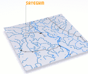 Places with similar names to Sayegwin, Myanmar :: Disclaimer :: Information on this page comes without warranty of any kind |
||
|
Where is Sayegwin? Elevation and coordinates ::
Latitude (lat): 17°36'0"N Longitude (lon): 95°13'0"E
Elevation (approx.): 9m (map arrows pan, magnifying glasses zoom) |
||
|
Visiting Sayegwin? Hotel/Accommodation ::
Book a hotel in Sayegwin Travel Guide ::
Buy a travel guide for Myanmar rental cars ::
car rental offers GPS waypoint ::
download a GPX waypoint (PoI) of Sayegwin for your GPS receiver
|
||