|
search place name
|
||
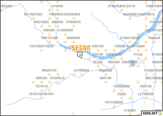
Segan (Myanmar)Segan is a town in Myanmar. An overview map of the region around Segan is displayed below.
regional and 3d topo map of Segan, Myanmar ::
Segan airports ::
The nearest airport is KYP - Kyaukpyu, located 165.3 km south west of Segan.
Other airports nearby include AKY - Sittwe (180.4 km west), MDL - Mandalay Intl (194.6 km north east), Nearby towns ::
Ondaw (1.9km north) //
Myaunggya (1.7km east) //
Linzin (2.5km north west) //
Othe (2.5km north east) //
Letpadaw (3.7km south) //
Gwingyin (3.7km south) //
Minywa (3.5km east) //
Ingyinbinhla (4.1km south west) //
Buga (3.9km north west) //
Paungma (4.1km north west) //
Leywa (3.9km south east) //
Kanywa (3.9km north east) //
Banbyin (3.9km north east) //
Ywathit (5.1km north west) //
Shwegu (5.5km east) //
Padawgyin (6.4km south west) //
Kyaukpon (6.6km north west) //
Paungdu (6.4km south east) //
Shanzu (6.4km north west) //
Nyaungywa (6.4km north west) //
Gwebinzin (6.9km east) //
Paungse (6.9km east) //
Nyaungni (7.6km north) //
Pokkon (7.2km east) //
Posu (7.2km east) //
Myepalin (7.6km south west) //
Gonnyindaung (7.6km south west) //
Sanywa (7.6km south east) //
Paukkyin (7.9km south west) //
[all distances 'as the bird flies' and approximate] 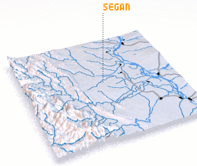 Places with similar names to Segan, Myanmar ::
Disclaimer :: Information on this page comes without warranty of any kind |
||
|
Where is Segan? Elevation and coordinates ::
Latitude (lat): 20°35'0"N Longitude (lon): 94°32'0"E
Elevation (approx.): 81m (map arrows pan, magnifying glasses zoom) |
||
|
Visiting Segan? Hotel/Accommodation ::
Book a hotel in Segan Travel Guide ::
Buy a travel guide for Myanmar rental cars ::
car rental offers GPS waypoint ::
download a GPX waypoint (PoI) of Segan for your GPS receiver
|
||