|
search place name
|
||
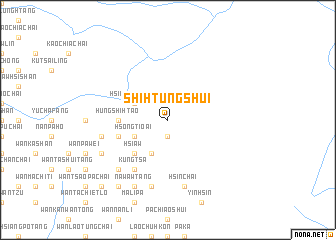
Shi-htungshui (Shan, Myanmar)Shi-htungshui is a town in the Shan region of Myanmar. An overview map of the region around Shi-htungshui is displayed below.
regional and 3d topo map of Shi-htungshui, Myanmar ::
Shi-htungshui airports ::
The nearest airport is LSH - Lashio, located 138.2 km south west of Shi-htungshui.
Other airports nearby include MYT - Myitkyina (231.5 km north west), Nearby towns ::
Mān Pien (1.9km south) //
Hsiao-lu-chang (3.9km north west) //
Hsong-tio-ai (3.9km south west) //
Tai-luan (4.1km south west) //
Hsi-aw (5.0km south west) //
Hungshi-htao (5.1km west) //
Pa-sao-sin (5.4km west) //
Kungtsa (6.5km south west) //
Chüe-hpa (7.0km west) //
Hsinchai (7.6km south) //
Mu-kua-chai (7.6km south) //
Yin-chiang-tien (7.6km south) //
Pa-kan (7.5km south west) //
Naw-awtang (8.2km south west) //
Wān Huo-hsiao-chai (7.7km south west) //
Wān Lao-wangchai (9.0km south west) //
Na-sai (9.0km south west) //
Wān Shihfang (10.1km south west) //
[all distances 'as the bird flies' and approximate] 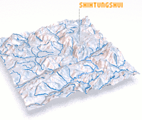 Places with similar names to Shi-htungshui, Myanmar ::
// Shuihtang Chai (MM)
// Chhota Āngutia (BD)
// Ch'ieh-tung-chiao (TW)
// Ch'ieh-tung-chiao (TW)
// Ch'ieh-tung-chiao (TW)
// Ch'ieh-tung-chiao (TW)
// Shitongshu (CN)
// Chu-tung-chieh (TW)
// Hsiao-tung-shih (TW)
Disclaimer :: Information on this page comes without warranty of any kind |
||
|
Where is Shi-htungshui? Elevation and coordinates ::
Latitude (lat): 23°46'0"N Longitude (lon): 98°48'0"E
Elevation (approx.): 1220m (map arrows pan, magnifying glasses zoom) |
||
|
Visiting Shi-htungshui? Hotel/Accommodation ::
Book a hotel in Shi-htungshui Travel Guide ::
Buy a travel guide for Myanmar rental cars ::
car rental offers GPS waypoint ::
download a GPX waypoint (PoI) of Shi-htungshui for your GPS receiver
|
||