|
search place name
|
||
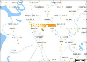
Thingangyaung (Myanmar)Thingangyaung is a town in Myanmar. An overview map of the region around Thingangyaung is displayed below.
regional and 3d topo map of Thingangyaung, Myanmar ::
Thingangyaung airports ::
The nearest airport is RGN - Yangon Intl, located 130.3 km west of Thingangyaung.
Nearby towns ::
Kathapa-anauk (1.9km south) //
Thitchadaung (1.9km north) //
Naungbo (3.5km west) //
Danu (3.5km east) //
Thayagon (4.1km south west) //
Tamangyi (4.0km north west) //
Mayan (4.0km north east) //
Thegon (4.1km north east) //
Winpa (5.8km north) //
Naunggala (6.2km south) //
Tonbo (6.6km north east) //
Theinzeik (6.5km north west) //
Zayitchaung (6.9km south) //
Kawhlaing (7.3km east) //
Wiyaw (7.6km north) //
Tada-u (7.7km north west) //
Kinmungyon (7.7km north west) //
Hnandaung (7.7km north west) //
Su-in-ywagale (8.0km south east) //
Kawhlainggale (9.0km north east) //
Inshe (9.4km south east) //
Thanban (10.1km south east) //
Kyaban (11.0km south east) //
[all distances 'as the bird flies' and approximate] 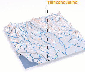 Places with similar names to Thingangyaung, Myanmar ::
// Thingangyaung (MM)
// Thingangyaung (MM)
Disclaimer :: Information on this page comes without warranty of any kind |
||
|
Where is Thingangyaung? Elevation and coordinates ::
Latitude (lat): 17°2'0"N Longitude (lon): 97°21'0"E
Elevation (approx.): 21m (map arrows pan, magnifying glasses zoom) |
||
|
Visiting Thingangyaung? Hotel/Accommodation ::
Book a hotel in Thingangyaung Travel Guide ::
Buy a travel guide for Myanmar rental cars ::
car rental offers GPS waypoint ::
download a GPX waypoint (PoI) of Thingangyaung for your GPS receiver
|
||