|
search place name
|
||
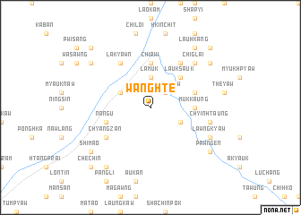
Wanghte (Kachin State, Myanmar)Wanghte is a town in the Kachin State region of Myanmar. An overview map of the region around Wanghte is displayed below.
regional and 3d topo map of Wanghte, Myanmar ::
Wanghte airports ::
The nearest airport is MYT - Myitkyina, located 93.0 km south west of Wanghte.
Other airports nearby include PBU - Putao (180.2 km north west), Nearby towns ::
Lawngkyaw (2.5km north east) //
Rittong (2.5km north east) //
Lamuk (3.7km north) //
Nahpaung (3.8km north west) //
Awngchit (3.8km south east) //
Lauksauk (5.0km north east) //
Mukkaung (5.0km east) //
Chipwi (5.6km north) //
Nang-u (5.3km west) //
Ritjaw (5.3km east) //
Chyangzan (6.2km south west) //
Lākyawn (6.5km north west) //
Ritpan (6.5km north east) //
Chyinhtaung (6.9km east) //
Chiglai (7.5km north east) //
Lawngkyaw (7.6km south east) //
Bamyaw (8.9km south west) //
Nalaw (8.7km north west) //
Shimao (8.7km south west) //
Lauhkang (8.9km north east) //
Pawngen (8.7km south east) //
Shitzaw (8.7km north east) //
Chechin (10.0km south west) //
Rgangkum (10.0km south west) //
Nasup (10.0km north west) //
Napok (10.0km north east) //
[all distances 'as the bird flies' and approximate] 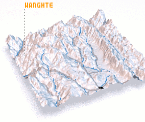
Disclaimer :: Information on this page comes without warranty of any kind |
||
|
Where is Wanghte? Elevation and coordinates ::
Latitude (lat): 25°50'0"N Longitude (lon): 98°8'0"E
Elevation (approx.): 1021m (map arrows pan, magnifying glasses zoom) |
||
|
Visiting Wanghte? Hotel/Accommodation ::
Book a hotel in Wanghte Travel Guide ::
Buy a travel guide for Myanmar rental cars ::
car rental offers GPS waypoint ::
download a GPX waypoint (PoI) of Wanghte for your GPS receiver
|
||