|
search place name
|
||
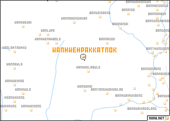
Wān Hwè-hpakkatnōk (Kayah, Myanmar)Wān Hwè-hpakkatnōk is a town in the Kayah region of Myanmar. An overview map of the region around Wān Hwè-hpakkatnōk is displayed below.
regional and 3d topo map of Wān Hwè-hpakkatnōk, Myanmar ::
Wān Hwè-hpakkatnōk airports ::
The nearest airport is HEH - Heho, located 190.8 km north west of Wān Hwè-hpakkatnōk.
Other airports nearby include MOG - Mong Hsat (201.9 km north east), LPT - Lampang (213.0 km south east), KET - Kengtung (291.3 km north east), Nearby towns ::
Wān Hwè-la-bu-lè (2.5km south) //
Ban Nai Soi (6.0km north east) //
Wān Sa-rai (6.7km south) //
Ban Yang Lak Taeng (7.1km north west) //
Ban Yang Huai Sai Lae (8.6km south east) //
Ban Tha Pong Daeng (8.6km south east) //
Ban Sop Pong (8.6km south east) //
Ban Yang Huai Mai Lom (8.6km south east) //
Wān Na-henghkam (8.8km north) //
Wān Hwè-nawbo-lè (8.6km north west) //
Wān Lu-pè (9.6km north west) //
Ban Nai Soi (10.3km north east) //
[all distances 'as the bird flies' and approximate] 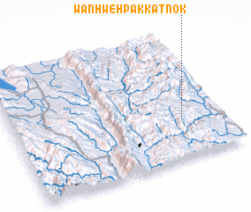 Places with similar names to Wān Hwè-hpakkatnōk, Myanmar ::
// Wān Hwè-hpakkat-nòk (MM)
Disclaimer :: Information on this page comes without warranty of any kind |
||
|
Where is Wān Hwè-hpakkatnōk? Elevation and coordinates ::
Latitude (lat): 19°18'55"N Longitude (lon): 97°48'24"E
Elevation (approx.): 647m (map arrows pan, magnifying glasses zoom) |
||
|
Visiting Wān Hwè-hpakkatnōk? Hotel/Accommodation ::
Book a hotel in Wān Hwè-hpakkatnōk Travel Guide ::
Buy a travel guide for Myanmar rental cars ::
car rental offers GPS waypoint ::
download a GPX waypoint (PoI) of Wān Hwè-hpakkatnōk for your GPS receiver
|
||