|
search place name
|
||
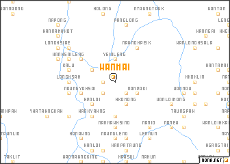
Wān Mai (Shan, Myanmar)Wān Mai is a town in the Shan region of Myanmar. An overview map of the region around Wān Mai is displayed below.
regional and 3d topo map of Wān Mai, Myanmar ::
Wān Mai airports ::
The nearest airport is HEH - Heho, located 61.8 km south west of Wān Mai.
Other airports nearby include MDL - Mandalay Intl (138.3 km north west), LSH - Lashio (209.0 km north), Nearby towns ::
Hkai-makking (1.9km north) //
Hai Hkai (1.7km west) //
Wān Pong (1.7km west) //
Wān Maü (2.5km south west) //
Kung Nyawng (2.5km south east) //
Yein Leng (3.7km north) //
Ong Pao (3.9km north west) //
Hko Mong (4.1km south east) //
Nam Pā-ki (3.9km south east) //
Hpa-lai (5.1km south west) //
Nam Maw Lik (5.6km south) //
Nawngya Hsai (5.5km west) //
Hpan Kawk (6.4km north west) //
Kon Pao (6.5km south west) //
Wān Kyawng (6.5km south west) //
Nam Maw Hsum (6.5km south west) //
Nawng Hpeik (6.5km north east) //
Long Hsam (6.9km west) //
Nawng Pa Kin (6.9km west) //
Nam Maw Hsing (7.4km south) //
Ka Lu (7.2km west) //
Nam Kin (7.2km west) //
Wān Hsai Leng (7.8km north west) //
Kyawk Ngak (8.9km south west) //
Kyi Taw (8.9km north west) //
Na Nio (9.0km south east) //
[all distances 'as the bird flies' and approximate] 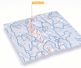 Places with similar names to Wān Mai, Myanmar ::
Disclaimer :: Information on this page comes without warranty of any kind |
||
|
Where is Wān Mai? Elevation and coordinates ::
Latitude (lat): 21°10'0"N Longitude (lon): 97°11'0"E
Elevation (approx.): 870m (map arrows pan, magnifying glasses zoom) |
||
|
Visiting Wān Mai? Hotel/Accommodation ::
Book a hotel in Wān Mai Travel Guide ::
Buy a travel guide for Myanmar rental cars ::
car rental offers GPS waypoint ::
download a GPX waypoint (PoI) of Wān Mai for your GPS receiver
|
||