|
search place name
|
||
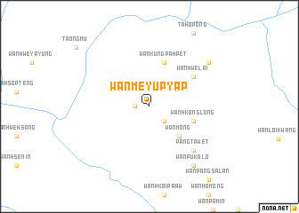
Wān Mè-yūp-yāp (Shan, Myanmar)Wān Mè-yūp-yāp is a town in the Shan region of Myanmar. An overview map of the region around Wān Mè-yūp-yāp is displayed below.
regional and 3d topo map of Wān Mè-yūp-yāp, Myanmar ::
Wān Mè-yūp-yāp airports ::
The nearest airport is HEH - Heho, located 153.8 km north west of Wān Mè-yūp-yāp.
Other airports nearby include MOG - Mong Hsat (158.3 km north east), KET - Kengtung (240.7 km north east), LPT - Lampang (241.8 km south east), MDL - Mandalay Intl (287.7 km north west), Nearby towns ::
Kiu-maw-ai (1.7km west) //
Wān Hwè-paw (2.5km south east) //
Wān Möng (5.1km south east) //
Wān Kungpa-hpet (5.8km north) //
Wān Hkonglong (5.5km east) //
Wān Hwè-lai (6.4km north east) //
Pāngta-wet (7.6km south east) //
Wān Peklawn (8.9km north east) //
Wān Pu-ka-lö (9.1km south east) //
[all distances 'as the bird flies' and approximate] 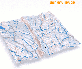 Places with similar names to Wān Mè-yūp-yāp, Myanmar :: Disclaimer :: Information on this page comes without warranty of any kind |
||
|
Where is Wān Mè-yūp-yāp? Elevation and coordinates ::
Latitude (lat): 19°51'0"N Longitude (lon): 97°55'0"E
Elevation (approx.): 939m (map arrows pan, magnifying glasses zoom) |
||
|
Visiting Wān Mè-yūp-yāp? Hotel/Accommodation ::
Book a hotel in Wān Mè-yūp-yāp Travel Guide ::
Buy a travel guide for Myanmar rental cars ::
car rental offers GPS waypoint ::
download a GPX waypoint (PoI) of Wān Mè-yūp-yāp for your GPS receiver
|
||