|
search place name
|
||
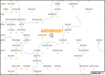
Wan Namkat (Shan, Myanmar)Wan Namkat is a town in the Shan region of Myanmar. An overview map of the region around Wan Namkat is displayed below.
regional and 3d topo map of Wan Namkat, Myanmar ::
Wan Namkat airports ::
The nearest airport is HEH - Heho, located 118.7 km south west of Wan Namkat.
Other airports nearby include MOG - Mong Hsat (172.0 km south east), KET - Kengtung (190.6 km east), LSH - Lashio (191.4 km north), MDL - Mandalay Intl (195.4 km west), Nearby towns ::
Hai-hseng (2.5km south west) //
Nawngmo (2.5km north east) //
Longtaw (3.5km west) //
Nawngsem (4.1km south west) //
Kang-un (3.9km south east) //
Namhso (5.1km north east) //
Hohkai (5.5km east) //
Wān Pong (5.5km east) //
Nawngtau (5.8km south) //
Nam-un (6.4km north east) //
Mawhsam (6.5km south west) //
Umso (6.5km south west) //
Ho-nā (6.5km north west) //
Wān Kong (7.4km north) //
Wān Hti (7.6km north) //
Könghkam (7.6km north west) //
Lai-tok (7.6km south west) //
Wan Kunwing (7.6km north west) //
Namtin (9.0km south west) //
[all distances 'as the bird flies' and approximate] 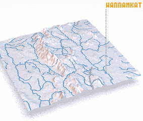 Places with similar names to Wan Namkat, Myanmar ::
// Wanamukti (ID)
// Wainimakutu (FJ)
// Wān Namkat (MM)
// Wān Nam Hkot (MM)
// Wān Namkat (MM)
// Wān Nammawhkit (MM)
Disclaimer :: Information on this page comes without warranty of any kind |
||
|
Where is Wan Namkat? Elevation and coordinates ::
Latitude (lat): 21°15'0"N Longitude (lon): 97°48'0"E
Elevation (approx.): 1011m (map arrows pan, magnifying glasses zoom) |
||
|
Visiting Wan Namkat? Hotel/Accommodation ::
Book a hotel in Wan Namkat Travel Guide ::
Buy a travel guide for Myanmar rental cars ::
car rental offers GPS waypoint ::
download a GPX waypoint (PoI) of Wan Namkat for your GPS receiver
|
||