|
search place name
|
||
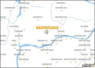
Wān Panghka (Shan, Myanmar)Wān Panghka is a town in the Shan region of Myanmar. An overview map of the region around Wān Panghka is displayed below.
regional and 3d topo map of Wān Panghka, Myanmar ::
Wān Panghka airports ::
The nearest airport is MOG - Mong Hsat, located 86.8 km south east of Wān Panghka.
Other airports nearby include KET - Kengtung (112.7 km east), THL - Tachilek Tachileik (150.4 km east), HEH - Heho (190.2 km west), LSH - Lashio (235.9 km north), Nearby towns ::
Wān Panghsan (1.9km north) //
Wān Namlin (4.1km south west) //
Wān Hsoptak (3.9km south east) //
Wān Hsak (3.9km north east) //
Wān Hwè-lahe (5.1km south east) //
Wān Wonhok (5.6km south) //
Tonglo (5.2km east) //
Wān Kawpin (5.8km south) //
Tā Kawsang (5.5km east) //
Wān Pongtawng (5.5km east) //
Wān Ho-nam (6.5km north west) //
Wān Hsophwe (6.5km south west) //
Wān Pāngwawn (7.4km south) //
Wān Hpā-hkao (7.2km east) //
Wān Hsai-möng (7.6km north east) //
[all distances 'as the bird flies' and approximate] 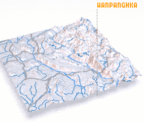 Places with similar names to Wān Panghka, Myanmar ::
// Wān Pānghkai (MM)
// Wān Panghök (MM)
// Wān Panghak (MM)
// Wān Panghka (MM)
// Wān Panghka (MM)
// Wān Panghka (MM)
// Wān Pānghkö (MM)
// Wān Panghok (MM)
// Wān Pūnghek (MM)
// Wān Pūnghka (MM)
Disclaimer :: Information on this page comes without warranty of any kind |
||
|
Where is Wān Panghka? Elevation and coordinates ::
Latitude (lat): 21°0'0"N Longitude (lon): 98°36'0"E
Elevation (approx.): 520m (map arrows pan, magnifying glasses zoom) |
||
|
Visiting Wān Panghka? Hotel/Accommodation ::
Book a hotel in Wān Panghka Travel Guide ::
Buy a travel guide for Myanmar rental cars ::
car rental offers GPS waypoint ::
download a GPX waypoint (PoI) of Wān Panghka for your GPS receiver
|
||