|
search place name
|
||
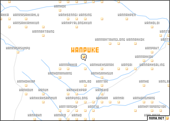
Wān Pu-kè (Shan, Myanmar)Wān Pu-kè is a town in the Shan region of Myanmar. An overview map of the region around Wān Pu-kè is displayed below.
regional and 3d topo map of Wān Pu-kè, Myanmar ::
Wān Pu-kè airports ::
The nearest airport is KET - Kengtung, located 79.3 km west of Wān Pu-kè.
Other airports nearby include THL - Tachilek Tachileik (100.9 km south west), MOG - Mong Hsat (146.1 km south west), LPQ - Luang Prabang Luang Phabang Intl (239.2 km south east), Nearby towns ::
Wān Namhpawng (1.9km south) //
Wān Hwè-hsa-nak (3.9km south east) //
Wān Namhka (3.9km south west) //
Wān Hsamhsūm (5.1km south east) //
Wān Lao (5.6km south) //
Wān Ho-namwan (5.5km west) //
Wān Tak (6.5km south east) //
Wān Ho-namwang (6.4km south west) //
Wān Namtawnglōng (6.4km north east) //
Wān Hwè-hpap (7.6km south) //
Wān Namnaw (7.2km east) //
Wān Hpya-lōnghkün (7.6km north) //
Wān Shio (8.2km south east) //
Wān Ho-sawn (8.2km south west) //
Wān Nammā (7.8km north east) //
[all distances 'as the bird flies' and approximate] 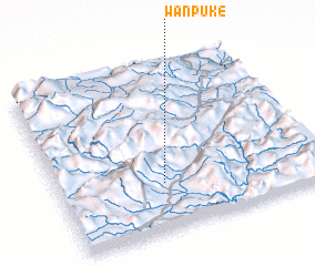 Places with similar names to Wān Pu-kè, Myanmar ::
// Winnipauk (US)
// Winnipeg (US)
// Winnipeg (CA)
// Wān Pu-kè (MM)
// Wān Hpā-hkao (MM)
// Wān Pa-kao (MM)
// Wān Pa-hkā (MM)
// Wān Pa-hka (MM)
// Wān Pa-hka (MM)
// Wounapaka (VU)
Disclaimer :: Information on this page comes without warranty of any kind |
||
|
Where is Wān Pu-kè? Elevation and coordinates ::
Latitude (lat): 21°17'0"N Longitude (lon): 100°24'0"E
Elevation (approx.): 939m (map arrows pan, magnifying glasses zoom) |
||
|
Visiting Wān Pu-kè? Hotel/Accommodation ::
Book a hotel in Wān Pu-kè Travel Guide ::
Buy a travel guide for Myanmar rental cars ::
car rental offers GPS waypoint ::
download a GPX waypoint (PoI) of Wān Pu-kè for your GPS receiver
|
||