|
search place name
|
||
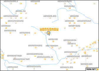
Wān Sa-maw (Shan, Myanmar)Wān Sa-maw is a town in the Shan region of Myanmar. An overview map of the region around Wān Sa-maw is displayed below.
regional and 3d topo map of Wān Sa-maw, Myanmar ::
Wān Sa-maw airports ::
The nearest airport is THL - Tachilek Tachileik, located 17.9 km east of Wān Sa-maw.
Other airports nearby include MOG - Mong Hsat (53.0 km west), KET - Kengtung (90.7 km north), Nearby towns ::
Wān Pu-möng (1.8km north west) //
Wān Ai-kiao (2.6km south east) //
Wān Tao-hsa-mi (4.7km south) //
Wān Hsenhkamtang (5.2km west) //
Wān Pūngkangloi (5.9km south east) //
Wān Kang (6.1km south east) //
Wān Ho-nammē-hkao (6.2km north east) //
Wān Hsenlōng (6.6km north) //
Wān Panghsang (6.7km south west) //
Wān Kē-tu (7.1km east) //
Wān Sa-hsa-kaw (7.8km east) //
Wān Pu-sān (8.6km north east) //
Wān Sa-te (8.8km south east) //
Wān Ra-sa-pangkaw (9.3km south west) //
Pang Kün (9.7km north east) //
Wān Hsenhsi-ri (10.4km south east) //
Wān Hanmi (10.6km south east) //
[all distances 'as the bird flies' and approximate] 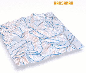 Places with similar names to Wān Sa-maw, Myanmar ::
// Wenz Āmba (ET)
// Wansema (ID)
// Wanzamay (NE)
// Wanzamey (NE)
// Wanzamai (NG)
// Wŏnsam (KR)
// Wān Ai-hsam (MM)
// Wān Ai-hsam (MM)
// Wān Hsim (MM)
// Wān I-sam (MM)
Disclaimer :: Information on this page comes without warranty of any kind |
||
|
Where is Wān Sa-maw? Elevation and coordinates ::
Latitude (lat): 20°29'28"N Longitude (lon): 99°45'51"E
Elevation (approx.): 1311m (map arrows pan, magnifying glasses zoom) |
||
|
Visiting Wān Sa-maw? Hotel/Accommodation ::
Book a hotel in Wān Sa-maw Travel Guide ::
Buy a travel guide for Myanmar rental cars ::
car rental offers GPS waypoint ::
download a GPX waypoint (PoI) of Wān Sa-maw for your GPS receiver
|
||