|
search place name
|
||
Wetlu (Mandalay, Myanmar)Wetlu is a town in the Mandalay region of Myanmar. An overview map of the region around Wetlu is displayed below.
regional and 3d topo map of Wetlu, Myanmar ::

Wetlu airports ::
The nearest airport is MDL - Mandalay Intl, located 32.6 km north east of Wetlu.
Other airports nearby include HEH - Heho (139.1 km south east), Nearby towns ::
Sindiywa (1.7km east) //
Tandawzu (3.4km east) //
Kan-u (5.1km north west) //
Zi (5.1km north east) //
Myawadi (5.6km north) //
Kyundaung (5.6km north) //
Kyadwin (6.5km north west) //
Tawwa (6.4km north west) //
Daungu (6.4km south west) //
Pegyet (6.5km south east) //
Thazi (6.9km east) //
Yobya (7.6km north) //
Nabudaw South (7.1km west) //
Myetshu (7.1km east) //
Zigon (7.1km east) //
Nabemyit (7.1km east) //
Bahet (7.6km north west) //
Subyugon (7.6km north west) //
Nabudaw (7.8km north west) //
Nabudaw North (7.8km north west) //
Ngapyawaing (7.8km south west) //
Gwebintha (8.2km south west) //
Yele (7.8km south east) //
Yonyindaw (9.0km north west) //
Thaminbe (9.0km south west) //
[all distances 'as the bird flies' and approximate] 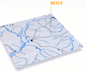 Places with similar names to Wetlu, Myanmar ::
Disclaimer :: Information on this page comes without warranty of any kind |
||
|
Where is Wetlu? Elevation and coordinates ::
Latitude (lat): 21°31'0"N Longitude (lon): 95°44'0"E
Elevation (approx.): 238m (map arrows pan, magnifying glasses zoom) |
||
|
Visiting Wetlu? Hotel/Accommodation ::
Book a hotel in Wetlu Travel Guide ::
Buy a travel guide for Myanmar rental cars ::
car rental offers GPS waypoint ::
download a GPX waypoint (PoI) of Wetlu for your GPS receiver
|
||