|
search place name
|
||
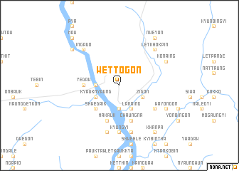
Wettogon (Mandalay, Myanmar)Wettogon is a town in the Mandalay region of Myanmar. An overview map of the region around Wettogon is displayed below.
regional and 3d topo map of Wettogon, Myanmar ::
Wettogon airports ::
The nearest airport is MDL - Mandalay Intl, located 99.4 km south of Wettogon.
Other airports nearby include LSH - Lashio (186.4 km east), HEH - Heho (221.6 km south), Nearby towns ::
Yeshin (2.5km north west) //
Ngapyin-in (3.4km west) //
Kule (3.7km south) //
Thila (3.7km south) //
Nwenyein (3.9km south west) //
Kyaukmyaung (3.9km south west) //
Lamaing (4.1km south east) //
Ywathit South (4.1km south east) //
Ywathit (3.9km south east) //
Zigon (3.9km south east) //
Ywathit North (3.9km south east) //
Shwedaik (5.0km south west) //
Yedaw (5.1km west) //
Makauk (5.8km south) //
Singu (5.8km south) //
Chaungna (5.8km south) //
Ngasingu (6.3km south east) //
Kyungyi (7.4km south) //
Hinthagyi (7.6km south) //
Ywathitgale (7.6km south) //
Letkhokpin (7.6km north east) //
Ingado (7.6km north west) //
Konaing (7.8km north east) //
Wayongon (7.8km south east) //
Seiktha (8.8km north west) //
Nweyon (9.0km north east) //
Khanpa (9.0km south east) //
Ma-u (10.1km north west) //
[all distances 'as the bird flies' and approximate] 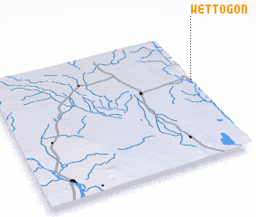 Places with similar names to Wettogon, Myanmar ::
Disclaimer :: Information on this page comes without warranty of any kind |
||
|
Where is Wettogon? Elevation and coordinates ::
Latitude (lat): 22°36'0"N Longitude (lon): 95°59'0"E
Elevation (approx.): 79m (map arrows pan, magnifying glasses zoom) |
||
|
Visiting Wettogon? Hotel/Accommodation ::
Book a hotel in Wettogon Travel Guide ::
Buy a travel guide for Myanmar rental cars ::
car rental offers GPS waypoint ::
download a GPX waypoint (PoI) of Wettogon for your GPS receiver
|
||