|
search place name
|
||
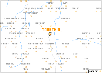
Yamethin (Mandalay, Myanmar)Yamethin is a town in the Mandalay region of Myanmar. An overview map of the region around Yamethin is displayed below.
regional and 3d topo map of Yamethin, Myanmar ::
Yamethin airports ::
The nearest airport is HEH - Heho, located 75.4 km north east of Yamethin.
Other airports nearby include MDL - Mandalay Intl (141.6 km north), SNW - Thandwe (292.3 km south west), Nearby towns ::
Okshitkon (3.7km south) //
Hngetthaik (3.7km north) //
Kywedat (3.9km south west) //
Natsingyi (3.9km north east) //
Theingon (3.9km north east) //
Ingyingan (5.1km north west) //
Inzin (5.6km south) //
Thazi (5.8km south) //
Hmanzi (6.4km south east) //
Wadaw (6.4km south east) //
Magyigon Myauk (6.4km south west) //
Magyigon (6.4km south west) //
Onthigwe (6.9km west) //
Sibintha (7.6km north east) //
Magyigon Taung (7.6km south west) //
Zibyugon (8.2km south east) //
Nyaungaing (8.2km south east) //
Zenyaunggaing (10.2km north west) //
[all distances 'as the bird flies' and approximate] 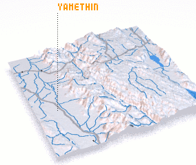 Places with similar names to Yamethin, Myanmar :: Disclaimer :: Information on this page comes without warranty of any kind |
||
|
Where is Yamethin? Elevation and coordinates ::
Latitude (lat): 20°26'0"N Longitude (lon): 96°9'0"E
Elevation (approx.): 195m (map arrows pan, magnifying glasses zoom) |
||
|
Visiting Yamethin? Hotel/Accommodation ::
Book a hotel in Yamethin Travel Guide ::
Buy a travel guide for Myanmar rental cars ::
car rental offers GPS waypoint ::
download a GPX waypoint (PoI) of Yamethin for your GPS receiver
|
||