|
search place name
|
||
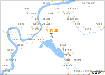
Yu-ywa (Sagaing, Myanmar)Yu-ywa is a town in the Sagaing region of Myanmar. An overview map of the region around Yu-ywa is displayed below.
regional and 3d topo map of Yu-ywa, Myanmar ::
Yu-ywa airports ::
The nearest airport is IMF - Imphal, located 108.4 km north west of Yu-ywa.
Other airports nearby include IXS - Silchar (196.9 km north west), AJL - Aizwal Aizawl (201.5 km west), Nearby towns ::
Thadobauk (1.9km south) //
Mauksapha (3.4km west) //
Lanlegwa (4.1km north west) //
Sawkaw (3.9km south west) //
Ton Lon (4.1km south east) //
Kongyi (5.0km south east) //
Sagata (5.8km north) //
Nyaungbintha (5.8km south) //
Kyandan (5.4km west) //
Hehlaw (6.3km north west) //
Kyogon (6.8km west) //
Maingnwe (7.4km north) //
Letkyi (7.4km north) //
Gwengu (7.0km west) //
Magyigon (7.5km south east) //
Kawe (7.5km north west) //
Nansima (7.7km north west) //
Yegyaw (9.0km south east) //
Kabatha (8.8km south east) //
Naukpaw (9.0km south east) //
Chaunggwa (8.8km north east) //
Nanpan (9.0km north east) //
Thayetkon (10.0km north west) //
Mezali (10.0km north east) //
[all distances 'as the bird flies' and approximate] 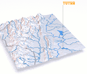 Places with similar names to Yu-ywa, Myanmar ::
Disclaimer :: Information on this page comes without warranty of any kind |
||
|
Where is Yu-ywa? Elevation and coordinates ::
Latitude (lat): 24°9'0"N Longitude (lon): 94°44'0"E
Elevation (approx.): 153m (map arrows pan, magnifying glasses zoom) |
||
|
Visiting Yu-ywa? Hotel/Accommodation ::
Book a hotel in Yu-ywa Travel Guide ::
Buy a travel guide for Myanmar rental cars ::
car rental offers GPS waypoint ::
download a GPX waypoint (PoI) of Yu-ywa for your GPS receiver
|
||