|
search place name
|
||
Djama-n- Saharidj (Algeria)Djama-n- Saharidj is a town in Algeria. An overview map of the region around Djama-n- Saharidj is displayed below.
regional and 3d topo map of Djama-n- Saharidj, Algeria ::

Djama-n- Saharidj airports ::
The nearest airport is BJA - Bejaja Soummam, located 70.4 km east of Djama-n- Saharidj.
Other airports nearby include ALG - Algier Houari Boumediene (95.4 km west), GJL - Jijel (142.6 km east), BSK - Biskra (247.6 km south east), Nearby towns ::
Mekla (1.5km west) //
Aït Yaïch (2.4km south west) //
Taourirt Adene (3.5km south west) //
Amazoul (4.0km south) //
Akerroui (3.5km south east) //
Bou Yala (3.5km south east) //
Klaa (4.8km south east) //
Igoulfane (5.6km south) //
Khahra (5.6km north) //
Chaaïb (4.8km north west) //
Aït Zellal (5.2km south east) //
Ifnaïene (5.8km south west) //
Et Tissael (5.8km north east) //
Oumzizou (5.8km north west) //
Aït Kheïr (6.3km south east) //
Bou Sahel (5.9km west) //
Irhil Bou Anou (6.2km west) //
Aït Meraou (7.6km south) //
Bou Adda (7.1km south west) //
Bel Resli (7.1km south east) //
Tablablat (7.0km south west) //
Vieux Tamda (7.0km north west) //
Freha (8.9km north) //
Guenndoul (8.1km north west) //
Igoufaf (8.7km south east) //
Souama (8.1km south east) //
Taka (9.0km south east) //
Taourirt el Laala (9.5km south west) //
Aït Mimoun (9.5km south west) //
[all distances 'as the bird flies' and approximate] 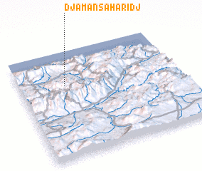 Places with similar names to Djama-n- Saharidj, Algeria :: Disclaimer :: Information on this page comes without warranty of any kind |
||
|
Where is Djama-n- Saharidj? Elevation and coordinates ::
Latitude (lat): 36°41'0"N Longitude (lon): 4°17'0"E
Elevation (approx.): 434m (map arrows pan, magnifying glasses zoom) |
||
|
Visiting Djama-n- Saharidj? Hotel/Accommodation ::
Book a hotel in Djama-n- Saharidj Travel Guide ::
Buy a travel guide for Algeria rental cars ::
car rental offers GPS waypoint ::
download a GPX waypoint (PoI) of Djama-n- Saharidj for your GPS receiver
|
||