|
search place name
|
||
Douar el Ayaïda (Algeria)Douar el Ayaïda is a town in Algeria. An overview map of the region around Douar el Ayaïda is displayed below.
regional and 3d topo map of Douar el Ayaïda, Algeria ::

Douar el Ayaïda airports ::
The nearest airport is ORN - Oran Es Senia, located 31.5 km south west of Douar el Ayaïda.
Other airports nearby include TAF - Oran Tafaraoui (32.2 km south west), MUW - Ghriss (77.3 km south east), TLM - Tlemcen Zenata (132.4 km south west), QAS - Ech-cheliff Ech Cheliff (157.5 km east), Nearby towns ::
Hassi Mefsoûkh (0.5km north east) //
El-Mehgoun (4.6km north west) //
Douar el Menatsia (5.8km south) //
Aïn el Bya (5.8km north east) //
Tourville (7.4km north) //
Arzew (7.7km north) //
Les Chevriers (7.7km north) //
Bettioua (6.9km east) //
Sidi Benyebka (7.4km north west) //
Douar er Rehamna (9.8km south east) //
[all distances 'as the bird flies' and approximate] 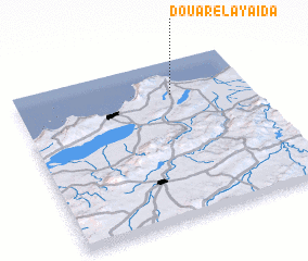 Places with similar names to Douar el Ayaïda, Algeria ::
// Douar Layaïda (MA)
// Douar el Ayad (TN)
// Doraliyadda (LK)
// Doraliyadda (LK)
// Dayr al Līyāt (JO)
Disclaimer :: Information on this page comes without warranty of any kind |
||
|
Where is Douar el Ayaïda? Elevation and coordinates ::
Latitude (lat): 35°47'0"N Longitude (lon): 0°20'0"W
Elevation (approx.): 90m (map arrows pan, magnifying glasses zoom) |
||
|
Visiting Douar el Ayaïda? Hotel/Accommodation ::
Book a hotel in Douar el Ayaïda Travel Guide ::
Buy a travel guide for Algeria rental cars ::
car rental offers GPS waypoint ::
download a GPX waypoint (PoI) of Douar el Ayaïda for your GPS receiver
|
||