|
search place name
|
||
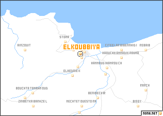
El Koûbbîya (Algeria)El Koûbbîya is a town in Algeria. An overview map of the region around El Koûbbîya is displayed below.
regional and 3d topo map of El Koûbbîya, Algeria ::
El Koûbbîya airports ::
The nearest airport is CZL - Constantine Mohamed Boudiaf Intl, located 70.2 km south of El Koûbbîya.
Other airports nearby include AAE - Annaba (81.2 km east), GJL - Jijel (91.9 km west), BJA - Bejaja Soummam (164.2 km west), TEE - Tebessa Cheikh Larbi Tebessi (193.5 km south east), Nearby towns ::
La Pépinière (0.0km north) //
Skikda (1.5km north east) //
Faubourg de lʼEspérance (1.9km north) //
Hammâdi Kroûma (2.2km south) //
Beni Mêlek (2.4km north west) //
El Hedaïek (4.4km south) //
Stora (4.7km north west) //
Hammoûdi Hamroûch (5.2km south east) //
Soltâne ʼAzzoûz (5.8km south east) //
[all distances 'as the bird flies' and approximate] 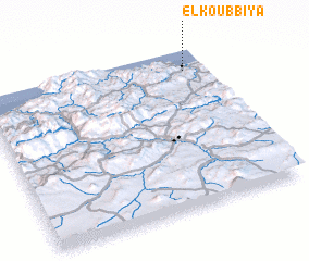 Places with similar names to El Koûbbîya, Algeria :: Disclaimer :: Information on this page comes without warranty of any kind |
||
|
Where is El Koûbbîya? Elevation and coordinates ::
Latitude (lat): 36°52'0"N Longitude (lon): 6°54'0"E
Elevation (approx.): 14m (map arrows pan, magnifying glasses zoom) |
||
|
Visiting El Koûbbîya? Hotel/Accommodation ::
Book a hotel in El Koûbbîya Travel Guide ::
Buy a travel guide for Algeria rental cars ::
car rental offers GPS waypoint ::
download a GPX waypoint (PoI) of El Koûbbîya for your GPS receiver
|
||