|
search place name
|
||
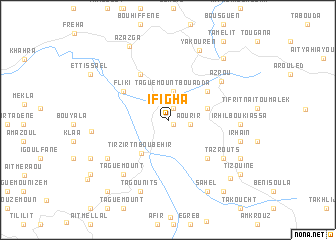
Ifigha (Tizi Ouzou, Algeria)Ifigha is a town in the Tizi Ouzou region of Algeria. An overview map of the region around Ifigha is displayed below.
regional and 3d topo map of Ifigha, Algeria ::
Ifigha airports ::
The nearest airport is BJA - Bejaja Soummam, located 59.0 km east of Ifigha.
Other airports nearby include ALG - Algier Houari Boumediene (106.9 km west), GJL - Jijel (131.3 km east), BSK - Biskra (240.4 km south east), Nearby towns ::
Ihassanene-n-Aït Isaad (0.7km south east) //
Tala Gala (1.4km north) //
Aourir (2.0km east) //
Assiak Bou Adda (3.2km north) //
Taguemount Bou Adda (3.2km north) //
Moknea (3.7km east) //
Tirzirt-n-Boubehir (4.3km south west) //
Chebel (4.7km north east) //
Fliki (5.1km north west) //
Cheurfa el Bahloul (5.6km north west) //
Irhil-n-Aït Tziboua (5.4km south east) //
Azrou (6.4km north east) //
Tazrouts (6.5km south east) //
Iguer Guedmimem (7.3km south west) //
Taguemount (7.3km south west) //
Tagounits (7.3km south west) //
Irhil Bou Kiassa (6.4km east) //
Souama (6.9km south west) //
Irhaïn (6.8km east) //
Yakouren (8.2km north) //
Irhil Igoulmimene (8.3km south) //
Tagounits (8.3km south) //
Aït Zellal (7.0km west) //
Sahel (8.6km south east) //
Ibkarene (7.7km south east) //
Tizi-n-Trident (8.5km north east) //
Azazga (8.9km north west) //
Aït Saïd (8.4km south east) //
Bel Resli (8.1km south west) //
[all distances 'as the bird flies' and approximate] 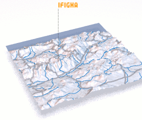 Places with similar names to Ifigha, Algeria ::
Disclaimer :: Information on this page comes without warranty of any kind |
||
|
Where is Ifigha? Elevation and coordinates ::
Latitude (lat): 36°40'16"N Longitude (lon): 4°24'41"E
Elevation (approx.): 553m (map arrows pan, magnifying glasses zoom) |
||
|
Visiting Ifigha? Hotel/Accommodation ::
Book a hotel in Ifigha Travel Guide ::
Buy a travel guide for Algeria rental cars ::
car rental offers GPS waypoint ::
download a GPX waypoint (PoI) of Ifigha for your GPS receiver
|
||