|
search place name
|
||
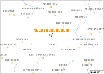
Mechta Zouaoucha (Sétif, Algeria)Mechta Zouaoucha is a town in the Sétif region of Algeria. An overview map of the region around Mechta Zouaoucha is displayed below.
regional and 3d topo map of Mechta Zouaoucha, Algeria ::
Mechta Zouaoucha airports ::
The nearest airport is BJA - Bejaja Soummam, located 101.7 km north of Mechta Zouaoucha.
Other airports nearby include BSK - Biskra (122.2 km south east), GJL - Jijel (126.0 km north east), CZL - Constantine Mohamed Boudiaf Intl (138.8 km north east), ALG - Algier Houari Boumediene (203.6 km north west), Nearby towns ::
Râs Isly (3.8km south) //
Mechta Bazzar (5.2km north east) //
Mechtat el Mehares (6.2km south east) //
El Hammam (6.6km south west) //
Mechta Layeb (8.0km north) //
Mechta Ahmed Ben Sidi Larbi (8.0km south) //
Mechta Arras (7.5km south east) //
Teboula (9.1km south west) //
ʼAïn Chouarh (10.2km north west) //
[all distances 'as the bird flies' and approximate] 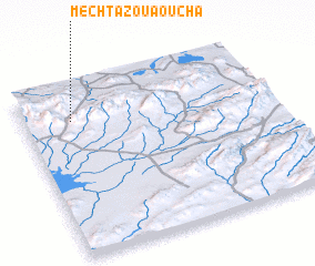 Places with similar names to Mechta Zouaoucha, Algeria :: Disclaimer :: Information on this page comes without warranty of any kind |
||
|
Where is Mechta Zouaoucha? Elevation and coordinates ::
Latitude (lat): 35°48'4"N Longitude (lon): 5°11'45"E
Elevation (approx.): 1101m (map arrows pan, magnifying glasses zoom) |
||
|
Visiting Mechta Zouaoucha? Hotel/Accommodation ::
Book a hotel in Mechta Zouaoucha Travel Guide ::
Buy a travel guide for Algeria rental cars ::
car rental offers GPS waypoint ::
download a GPX waypoint (PoI) of Mechta Zouaoucha for your GPS receiver
|
||